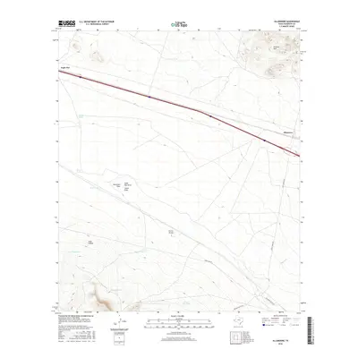
2016 Map of Allamoore
USGS Topo · Published 2016About this map
Allamoore serves as the focal point of this Trans-Pecos landscape in Hudspeth County, situated along the major transit corridor between the Millican Hills and the expansive basin of Eagle Flat. The map documents a classic West Texas ranching and transportation infrastructure, where the Southern Pacific Rd cuts through the desert floor alongside Interstate 10. Water management is a primary feature of this arid environment, evidenced by the numerous catchment points such as Stage Road Tank, Williams Tank, and Martin Tank. These features, alongside drainage systems like Carral Arroyo and Seventeen Draw, highlight the necessity of collecting seasonal runoff from the surrounding uplands. Local access is provided by unpaved routes including Green Gap Rd and Guest Ranch Rd, which navigate the rugged terrain of Goat Canyon and the surrounding hills.
Find a feature on this map
20 named features on this map. Tap any name to fly to it.
Don’t see what you’re looking for? This feature index may not catch every label — zoom into the map to look around manually.
Map Details
Editions of this 2016 Allamoore Map
This is the sole edition of this map. No revisions or reprints were ever made.
Other maps of this area

1892 · Chispa
USGS Topo · 1:125,000

1895 · Chispa
USGS Topo · 1:125,000

1895 · Sierra Blanca
USGS Topo · 1:125,000

1897 · Eagle Mountain
USGS Topo · 1:125,000

1897 · Chispa
USGS Topo · 1:125,000

1906 · Van Horn
USGS Topo · 1:125,000

1916 · Eagle Mountain
USGS Topo · 1:125,000

1954 · Van Horn
USGS Topo · 1:250,000

1958 · Van Horn
USGS Topo · 1:250,000

1959 · Marfa
USGS Topo · 1:250,000