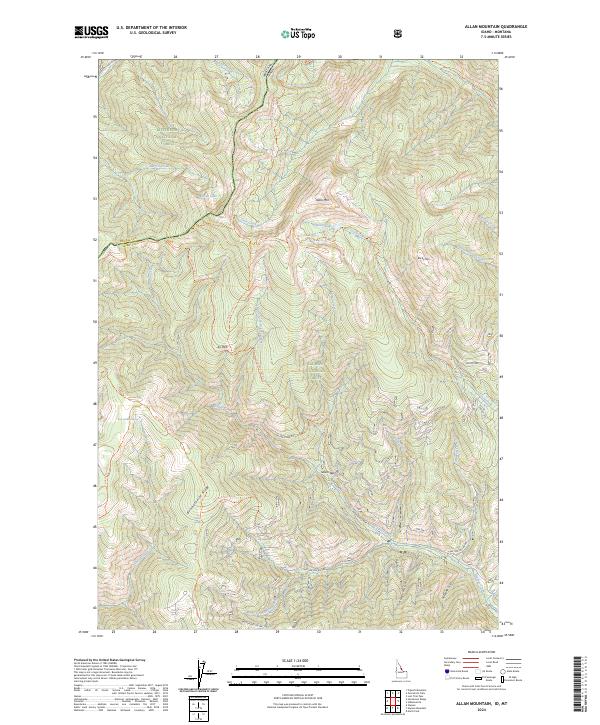
2024 Map of Allan Mountain
USGS Topo · Published 2024About this map
Allan Mountain and Rocky Mountain define the high country along the border between Montana and Idaho, where the Bitterroot National Forest meets the Salmon National Forest. This modern survey details a complex network of ridgeline and drainage paths, including the South Nez Perce Indian Trail and the Divide National Recreation Trail, which follow the ancient travel corridors of the Bitterroot Range.
Find a feature on this map
52 named features on this map. Tap any name to fly to it.
Don’t see what you’re looking for? This feature index may not catch every label — zoom into the map to look around manually.
Map Details
Editions of this 2024 Allan Mountain Map
This is the sole edition of this map. No revisions or reprints were ever made.
Other maps of this area

1955 · Dillon
USGS Topo · 1:250,000

1956 · Elk City
USGS Topo · 1:250,000

1957 · Dillon
USGS Topo · 1:250,000

1958 · Dillon
USGS Topo · 1:250,000

1960 · Elk City
USGS Topo · 1:250,000

1960 · Ulysses Mtn
USGS Topo · 1:62,500

1960 · Piquett Mountain
USGS Topo · 1:62,500

1962 · Dillon
USGS Topo · 1:250,000

1965 · Dillon
USGS Topo · 1:250,000

1966 · Lost Trail Pass
USGS Topo · 1:24,000