
1966 Map of Lost Trail Pass
USGS Topo · Published 1970About this map
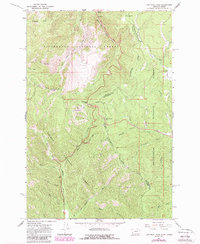
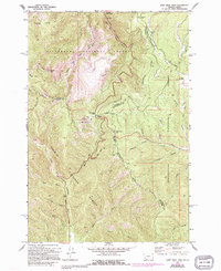
Lost Trail Pass and Chief Joseph Pass serve as the primary gateways across the Continental Divide, where the high-altitude borders of the Bitterroot National Forest, Beaverhead National Forest, and Salmon National Forest converge. This 1966 survey documents a mid-century landscape of recreation and forest management, featuring a Ski Tow and Sports Area near the pass, alongside the Roadside Park and the remote Hogans Guard Sta. The network of Pack Trails and Jeep Trails provides access to prominent heights like Saddle Mtn, which is topped by a Lookout Tower. Headwaters of the North Fork Salmon River and Joseph Creek illustrate the hydrographic importance of this mountain crest, while a single Prospect and Gravel Pit indicate localized industrial activity.
Find a feature on this map
41 named features on this map. Tap any name to fly to it.
Don’t see what you’re looking for? This feature index may not catch every label — zoom into the map to look around manually.
Map Details
Editions of this 1966 Lost Trail Pass Map
3 editions found
Other maps of this area

1955 · Dillon
USGS Topo · 1:250,000

1956 · Elk City
USGS Topo · 1:250,000

1957 · Dillon
USGS Topo · 1:250,000

1958 · Dillon
USGS Topo · 1:250,000

1960 · Elk City
USGS Topo · 1:250,000

1960 · Piquett Mountain
USGS Topo · 1:62,500

1962 · Dillon
USGS Topo · 1:250,000

1965 · Dillon
USGS Topo · 1:250,000

1965 · Medicine Hot Springs
USGS Topo · 1:24,000

1966 · Big Hole Pass
USGS Topo · 1:24,000