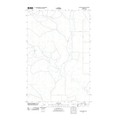
2011 Map of Allard Ranch
USGS Topo · Published 2011About this map
Allard Ranch serves as the namesake landmark for this expanse of Eastern Montana, reflecting the ranching heritage of Richland County. The drainage patterns of the area are clearly defined by the complex branching of Burns Creek, which includes the Middle Fork and North Fork Burns Creek. These waterways carve through the landscape, dictating the placement of rural infrastructure such as Road 512 and Road 530. The map documents a sparsely settled territory where land use is oriented toward wide-range ranching and agriculture, connected by a network of established county routes including County Rd-108 and County Rd-112.
Find a feature on this map
11 named features on this map. Tap any name to fly to it.
Don’t see what you’re looking for? This feature index may not catch every label — zoom into the map to look around manually.
Map Details
Editions of this 2011 Allard Ranch Map
This is the sole edition of this map. No revisions or reprints were ever made.
Other maps of this area

1909 · Glendive
USGS Topo · 1:250,000

1954 · Glendive
USGS Topo · 1:250,000

1957 · Glendive
USGS Topo · 1:250,000

1958 · Glendive
USGS Topo · 1:250,000

1966 · Kolberg Ranch
USGS Topo · 1:24,000

1966 · Savage SW
USGS Topo · 1:24,000

1966 · Intake
USGS Topo · 1:24,000

1966 · Knife River Mine
USGS Topo · 1:24,000

1966 · Intake NW
USGS Topo · 1:24,000

1966 · Allard Ranch
USGS Topo · 1:24,000