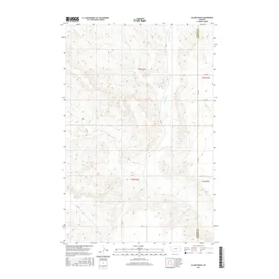
2017 Map of Allard Ranch
USGS Topo · Published 2017About this map
Allard Ranch serves as a primary waypoint in this section of eastern Montana, where the terrain is carved by the complex drainage systems of the Yellowstone River basin. The landscape is defined by the branching waterways of Burns Creek, including the Middle Fork Burns Cr and the North Fork Burns Cr. This 2017 survey details a network of county roads, such as County Road 344, that follow the natural contours of the land and the Dawson and Richland County line. The presence of Beef Slough in the southeastern quadrant suggests the seasonal hydrology typical of this high plains region, where cattle ranching remains the dominant influence on settlement patterns and infrastructure.
Find a feature on this map
20 named features on this map. Tap any name to fly to it.
Don’t see what you’re looking for? This feature index may not catch every label — zoom into the map to look around manually.
Map Details
Editions of this 2017 Allard Ranch Map
This is the sole edition of this map. No revisions or reprints were ever made.
Other maps of this area

1909 · Glendive
USGS Topo · 1:250,000

1954 · Glendive
USGS Topo · 1:250,000

1957 · Glendive
USGS Topo · 1:250,000

1958 · Glendive
USGS Topo · 1:250,000

1966 · Kolberg Ranch
USGS Topo · 1:24,000

1966 · Savage SW
USGS Topo · 1:24,000

1966 · Intake
USGS Topo · 1:24,000

1966 · Knife River Mine
USGS Topo · 1:24,000

1966 · Intake NW
USGS Topo · 1:24,000

1966 · Allard Ranch
USGS Topo · 1:24,000