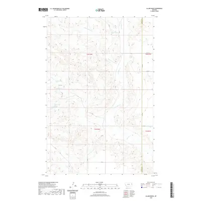
2020 Map of Allard Ranch
USGS Topo · Published 2020About this map
Allard Ranch serves as a central landmark in this portion of the Montana plains, situated where the drainage systems of the Missouri River watershed begin to carve into the high tablelands. The landscape is defined by the intricate branching of Burns Creek, with its Middle Fork and North Fork creating a complex network of coulees and draws. This 2020 survey highlights the vital role of water in this semi-arid ranching country, documenting several specific water sources including 20N56E32CABC01 Spring and 19N56E05BABA Spring. The boundary between Dawson and Richland counties runs North-South through the eastern third of the map, while a localized system of section roads like County Road 344 and Road 549 provides the primary infrastructure for the scattered agricultural operations.
Find a feature on this map
25 named features on this map. Tap any name to fly to it.
Don’t see what you’re looking for? This feature index may not catch every label — zoom into the map to look around manually.
Map Details
Editions of this 2020 Allard Ranch Map
This is the sole edition of this map. No revisions or reprints were ever made.
Other maps of this area

1909 · Glendive
USGS Topo · 1:250,000

1954 · Glendive
USGS Topo · 1:250,000

1957 · Glendive
USGS Topo · 1:250,000

1958 · Glendive
USGS Topo · 1:250,000

1966 · Kolberg Ranch
USGS Topo · 1:24,000

1966 · Savage SW
USGS Topo · 1:24,000

1966 · Intake
USGS Topo · 1:24,000

1966 · Knife River Mine
USGS Topo · 1:24,000

1966 · Intake NW
USGS Topo · 1:24,000

1966 · Allard Ranch
USGS Topo · 1:24,000