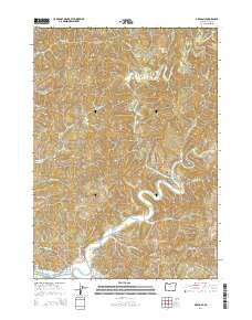
2014 Map of Allegany
USGS Topo · Published 2014About this map
The Allegany settlement sits at the strategic confluence where the East Fork Millicoma River and the West Fork Millicoma River join to form the main stem of the Millicoma River. This 2014 survey documents the complex hydrological network of Coos County, where numerous named drainages like Marlow Cr, Sullivan Cr, and Willanch Cr carve through the coastal timberlands. The small community is anchored by the Allegany Cem and the nearby Wee House Hole along the riverbank, reflecting the enduring local identity of this river-junction town.
Find a feature on this map
46 named features on this map. Tap any name to fly to it.
Don’t see what you’re looking for? This feature index may not catch every label — zoom into the map to look around manually.
Map Details
Editions of this 2014 Allegany Map
This is the sole edition of this map. No revisions or reprints were ever made.
Other maps of this area

1896 · Coos Bay
USGS Topo · 1:125,000

1898 · Coos Bay
USGS Topo · 1:125,000

1900 · Coos Bay
USGS Topo · 1:125,000

1923 · Reedsport
USGS Topo · 1:62,500

1928 · Sitkum
USGS Topo · 1:125,000

1942 · Reedsport
USGS Topo · 1:62,500

1942 · Coos Bay
USGS Topo · 1:62,500

1945 · Coos Bay
USGS Topo · 1:62,500

1954 · Coos Bay
USGS Topo · 1:250,000

1955 · Scottsburg
USGS Topo · 1:62,500