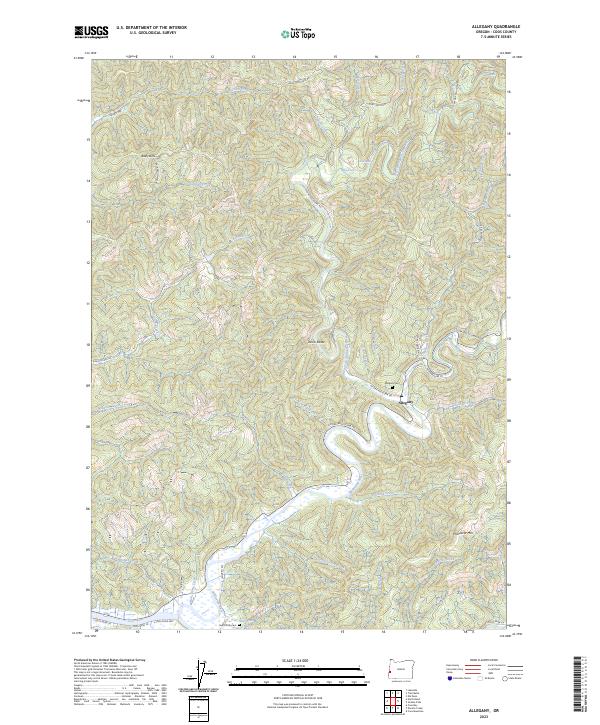
2023 Map of Allegany
USGS Topo · Published 2023About this map
Allegany sits at the significant confluence where the West Fork Millicoma River and East Fork Millicoma River join to form the main stem of the Millicoma River. This waterway network, long central to the regional timber and transport economy of Coos County, winds through a landscape marked by steep drainages and named summits like Baldy Butte and McKeever Mtn. The 2023 landscape maintains its rural character, anchored by the Allegany Cem and the South Fork Cem, while the river itself features numerous named landmarks including Henry Falls, Pigeon Falls, and the curiously named Wee House Hole near the southern bend of the river. A complex system of logging and access roads, such as W Fork Millicoma RD and E Fork Millicoma RD, follows the canyon floors, tracing the same paths that have defined movement through these drainages for generations.
Find a feature on this map
52 named features on this map. Tap any name to fly to it.
Don’t see what you’re looking for? This feature index may not catch every label — zoom into the map to look around manually.
Map Details
Editions of this 2023 Allegany Map
This is the sole edition of this map. No revisions or reprints were ever made.
Other maps of this area

1896 · Coos Bay
USGS Topo · 1:125,000

1898 · Coos Bay
USGS Topo · 1:125,000

1900 · Coos Bay
USGS Topo · 1:125,000

1923 · Reedsport
USGS Topo · 1:62,500

1928 · Sitkum
USGS Topo · 1:125,000

1942 · Reedsport
USGS Topo · 1:62,500

1942 · Coos Bay
USGS Topo · 1:62,500

1945 · Coos Bay
USGS Topo · 1:62,500

1954 · Coos Bay
USGS Topo · 1:250,000

1955 · Scottsburg
USGS Topo · 1:62,500