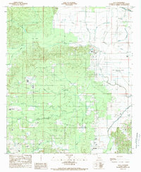
1989 Map of Allen
USGS Topo · Published 1989About this map
The settlement of Allen serves as the primary focal point of this late-1980s landscape in Natchitoches Parish, situated amidst a complex network of waterways and marshy depressions known locally as brakes. The terrain is characterized by the Old Spanish Lake Lowlands and the winding course of Bayou Pierre, which dominates the northeastern section of the quadrangle. This area reveals a transition from the elevated ground at King Hill down into a saturated environment where Halls Brake and Berry Brake collection points feed into a dense system of bayous, including Blanc Terre Bayou and Gum Bayou. The mapping of several transmission lines and a pipeline cutting across the lowlands illustrates the modern infrastructure intersecting this traditional riverine landscape. For genealogists and local researchers, the presence of a Cem near the primary settlement provides a specific point for historical inquiry within this wetland-dominated interior.
Find a feature on this map
31 named features on this map. Tap any name to fly to it.
Don’t see what you’re looking for? This feature index may not catch every label — zoom into the map to look around manually.
Map Details
Editions of this 1989 Allen Map
2 editions found
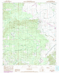
Other maps of this area

1935 · Hagewood
USGS Topo · 1:31,680

1937 · Campti NW
USGS Topo · 1:31,680

1937 · Campti SW
USGS Topo · 1:31,680

1938 · Chemard Lake
USGS Topo · 1:31,680

1938 · Hollis Creek
USGS Topo · 1:31,680

1938 · Allen
USGS Topo · 1:31,680

1938 · Lake End
USGS Topo · 1:31,680

1942 · Many
USGS Topo · 1:62,500

1943 · Many
USGS Topo · 1:62,500

1943 · Provencal
USGS Topo · 1:62,500