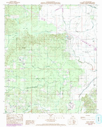
1989 Map of Allen
USGS Topo · Published 1992About this map
Bayou Pierre and the Old Spanish Lake Lowlands anchor the landscape of this northwest Louisiana region during the late 1980s. The settlement of Allen sits at the nexus of several watercourses and wetland features typical of the Red River valley ecosystem, including distinctive swampy areas like Halls Brake and Berry Brake. The terrain is defined by a intricate network of bayous such as Cow Bayou, Rocks Bayou, and Terre Blanc Bayou, illustrating the complex hydrology of the Natchitoches Parish area before modern drainage alterations were fully realized. Landforms such as King Hill and family-named drainages like Williamson Branch and Magason Branch provide specific landmarks for genealogical and land-use research. To the east, Horseshoe Lake and Coon Slough highlight the historic oxbow formations and secondary water channels that shaped early local transport and settlement patterns.
Find a feature on this map
28 named features on this map. Tap any name to fly to it.
Don’t see what you’re looking for? This feature index may not catch every label — zoom into the map to look around manually.
Map Details
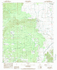
Editions of this 1989 Allen Map
2 editions found
Other maps of this area

1935 · Hagewood
USGS Topo · 1:31,680

1937 · Campti NW
USGS Topo · 1:31,680

1937 · Campti SW
USGS Topo · 1:31,680

1938 · Chemard Lake
USGS Topo · 1:31,680

1938 · Hollis Creek
USGS Topo · 1:31,680

1938 · Allen
USGS Topo · 1:31,680

1938 · Lake End
USGS Topo · 1:31,680

1942 · Many
USGS Topo · 1:62,500

1943 · Many
USGS Topo · 1:62,500

1943 · Provencal
USGS Topo · 1:62,500