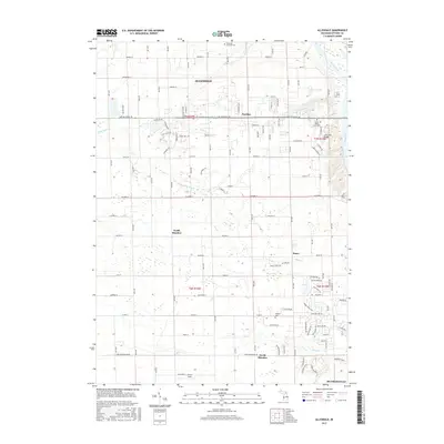
2017 Map of Allendale
USGS Topo · Published 2017About this map
The Grand River carves through the northeastern corner of this landscape, a defining geographical feature that supports the sprawling campus of Grand Valley State Univ. This academic hub is connected by the pedestrian Little Mac Bridge over a ravine leading toward the river. To the west, the community of Allendale is structured by a rigorous grid of section lines and roads such as Lake Michigan Dr and 68th Ave.
Find a feature on this map
107 named features on this map. Tap any name to fly to it.
Don’t see what you’re looking for? This feature index may not catch every label — zoom into the map to look around manually.
Map Details
Editions of this 2017 Allendale Map
This is the sole edition of this map. No revisions or reprints were ever made.
Other maps of this area

1929 · Holland
USGS Topo · 1:62,500

1930 · Muskegon
USGS Topo · 1:62,500

1932 · Holland
USGS Topo · 1:62,500

1936 · Muskegon
USGS Topo · 1:62,500

1945 · Ravenna
USGS Topo · 1:62,500

1954 · Milwaukee
USGS Topo · 1:250,000

1954 · Midland
USGS Topo · 1:250,000

1958 · Midland
USGS Topo · 1:250,000

1958 · Milwaukee
USGS Topo · 1:250,000

1958 · Allendale
USGS Topo · 1:24,000