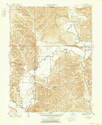
1947 Map of Allens Creek
USGS Topo · Published 1947About this map
Salt Creek and its many winding tributaries carve through the townships of Perry, Salt Creek, and Polk in this mid-century Indiana landscape. The settlement of Fairfax sits near the river's bend, serving as a focal point in an area defined by rural schoolhouses and neighborhood churches. The density of community landmarks like Allens Creek Sch, Snoddy Sch, and Mt Ebel Ch reflects a decentralized social structure before the major modern infrastructure changes in Monroe County.
Find a feature on this map
51 named features on this map. Tap any name to fly to it.
Don’t see what you’re looking for? This feature index may not catch every label — zoom into the map to look around manually.
Map Details
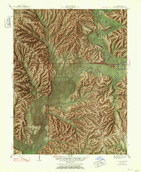
Editions of this 1947 Allens Creek Map
Other maps of this area

1908 · Bloomington
USGS Topo · 1:48,000

1910 · Bloomington
USGS Topo · 1:62,500

1934 · Bedford
USGS Topo · 1:48,000

1935 · Oolitic
USGS Topo · 1:48,000

1937 · Bedford
USGS Topo · 1:62,500

1942 · Franklin
USGS Topo · 1:125,000

1942 · Oolitic
USGS Topo · 1:62,500

1946 · Belmont
USGS Topo · 1:24,000

1947 · Allens Creek
USGS Topo · 1:24,000

1947 · Unionville
USGS Topo · 1:24,000