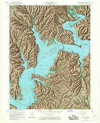
1966 Map of Allens Creek
USGS Topo · Published 1968About this map
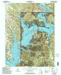
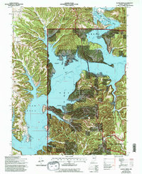
Monroe Reservoir dominates the landscape of southern Monroe County, its sprawling blue waters filling the valleys of Salt Creek and its many tributaries. This 1966 revision illustrates the profound impact of the reservoir on the local geography, showing the U.S. Reservation Boundary and the newly established Paynetown State Recreation Area and Fairfax State Recreation Area. Despite the rising waters, older patterns of settlement remain visible on the higher ground. Small communities like New Paynetown and Siscoe anchor the region, while landmarks such as Mt Calvary Ch, Shiloh Temple, and the Allens Creek Cem serve as important touchstones for local genealogy. The topographic shading highlights the intricate ridge systems, including Dutch Ridge, Hardin Ridge, and Rush Ridge, which define the northern reaches of the Hoosier National Forest.
Find a feature on this map
54 named features on this map. Tap any name to fly to it.
Don’t see what you’re looking for? This feature index may not catch every label — zoom into the map to look around manually.
Map Details
Editions of this 1966 Allens Creek Map
6 editions found
Other maps of this area

1908 · Bloomington
USGS Topo · 1:48,000

1910 · Bloomington
USGS Topo · 1:62,500

1934 · Bedford
USGS Topo · 1:48,000

1935 · Oolitic
USGS Topo · 1:48,000

1937 · Bedford
USGS Topo · 1:62,500

1942 · Franklin
USGS Topo · 1:125,000

1942 · Oolitic
USGS Topo · 1:62,500

1946 · Belmont
USGS Topo · 1:24,000

1947 · Allens Creek
USGS Topo · 1:24,000

1947 · Unionville
USGS Topo · 1:24,000