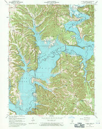
1966 Map of Allens Creek
USGS Topo · Published 1971About this map
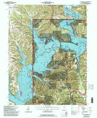
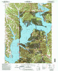
Monroe Reservoir dominates this mid-1960s landscape, illustrating a massive transformation of the Salt Creek valley in southern Indiana. The map reflects a period of significant recreational development following the reservoir's creation, evidenced by the establishment of the Paynetown State Recreation Area and Allens Creek State Recreation Area. Large portions of the terrain are preserved within the Morgan-Monroe State Forest and the Hoosier National Forest, showing a heavily dissected ridge-and-hollow topography.
Find a feature on this map
67 named features on this map. Tap any name to fly to it.
Don’t see what you’re looking for? This feature index may not catch every label — zoom into the map to look around manually.
Map Details
Editions of this 1966 Allens Creek Map
6 editions found
Other maps of this area

1908 · Bloomington
USGS Topo · 1:48,000

1910 · Bloomington
USGS Topo · 1:62,500

1934 · Bedford
USGS Topo · 1:48,000

1935 · Oolitic
USGS Topo · 1:48,000

1937 · Bedford
USGS Topo · 1:62,500

1942 · Franklin
USGS Topo · 1:125,000

1942 · Oolitic
USGS Topo · 1:62,500

1946 · Belmont
USGS Topo · 1:24,000

1947 · Allens Creek
USGS Topo · 1:24,000

1947 · Unionville
USGS Topo · 1:24,000