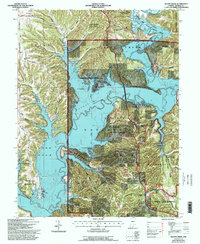
1966 Map of Allens Creek
USGS Topo · Published 1996About this map
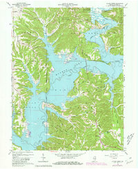
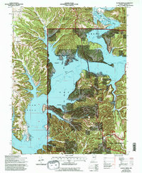
Monroe Lake dominates this landscape, its intricate shoreline carving deep into the surrounding timberlands of the Hoosier National Forest. Based on surveys dating back to 1942 and revised through 1990, the map illustrates the extensive recreational development along the water, including the Paynetown State Recreation Area and Allens Creek State Recreation Area. Beyond the water's edge, the map preserves the names of long-standing rural landmarks such as Rhorer Cemetery and Mt Calvary Church. The rugged topography is defined by a series of family-named ridges and hollows, such as Rhorer Ridge and Hardin Ridge, which have dictated the paths of local roads like Knight Ridge Road. To the southeast, the protected landscape of the Charles C Deam Wilderness provides a view of the area's primitive character alongside established community sites like Shiloh Temple and the Chapel Hill School.
Find a feature on this map
66 named features on this map. Tap any name to fly to it.
Don’t see what you’re looking for? This feature index may not catch every label — zoom into the map to look around manually.
Map Details
Editions of this 1966 Allens Creek Map
6 editions found
Other maps of this area

1908 · Bloomington
USGS Topo · 1:48,000

1910 · Bloomington
USGS Topo · 1:62,500

1934 · Bedford
USGS Topo · 1:48,000

1935 · Oolitic
USGS Topo · 1:48,000

1937 · Bedford
USGS Topo · 1:62,500

1942 · Franklin
USGS Topo · 1:125,000

1942 · Oolitic
USGS Topo · 1:62,500

1946 · Belmont
USGS Topo · 1:24,000

1947 · Allens Creek
USGS Topo · 1:24,000

1947 · Unionville
USGS Topo · 1:24,000