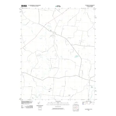
2010 Map of Allensville
USGS Topo · Published 2010About this map
The agricultural landscape of Todd County is defined here by the winding course of the Elk Fork, which meanders through the central terrain before meeting the Red River at the southeastern corner. This 2010 survey highlights a deeply established rural network of family and community landmarks, evidenced by the numerous burial sites scattered across the countryside, including Belmont Cemetery, Mitchell Cemetery, and Stainback Cemetery.
Find a feature on this map
45 named features on this map. Tap any name to fly to it.
Don’t see what you’re looking for? This feature index may not catch every label — zoom into the map to look around manually.
Map Details
Editions of this 2010 Allensville Map
This is the sole edition of this map. No revisions or reprints were ever made.
Other maps of this area

1950 · Allensville
USGS Topo · 1:24,000

1950 · Guthrie
USGS Topo · 1:24,000

1950 · Olmstead
USGS Topo · 1:24,000

1951 · Elkton
USGS Topo · 1:24,000

1951 · Olmstead
USGS Topo · 1:24,000

1951 · Dot
USGS Topo · 1:24,000

1952 · Russellville
USGS Topo · 1:24,000

1952 · Springfield North
USGS Topo · 1:24,000

1956 · Nashville
USGS Topo · 1:250,000

1957 · Adams
USGS Topo · 1:24,000