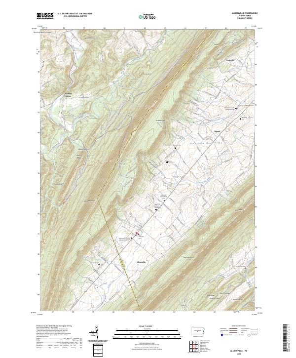
2023 Map of Allensville
USGS Topo · Published 2023About this map
Allensville and the surrounding Big Valley showcase a landscape deeply defined by its religious heritage and agricultural geography. This area of Mifflin County, nestled between the imposing heights of Jacks Mountain and Stone Mountain, is characterized by a high density of denominational burying grounds, including the Allensville Mennonite and Amish Cem and the West Kishacoquillas Presbyterian Cem. The orientation of settlements like Menno and Rockville follows the limestone-rich floor of the Kishacoquillas Valley, where numerous springs and runs, such as Soft Run and Saddler Creek, provided essential water for the farmsteads. The northern portion of the map transitions into the densely forested slopes of the Rothrock State Forest, where the terrain rises toward Garret Knob and Murphy Hollow, contrasting the agrarian valley with the wooded ridges that historically isolated these distinct valley communities.
Find a feature on this map
127 named features on this map. Tap any name to fly to it.
Don’t see what you’re looking for? This feature index may not catch every label — zoom into the map to look around manually.
Map Details
Editions of this 2023 Allensville Map
This is the sole edition of this map. No revisions or reprints were ever made.
Other maps of this area

1919 · Mattawana
USGS Topo · 1:62,500

1919 · Menno
USGS Topo · 1:62,500

1922 · Mt Union
USGS Topo · 1:48,000

1924 · Mt. Union
USGS Topo · 1:62,500

1924 · Lewistown
USGS Topo · 1:62,500

1927 · Lewisburg
USGS Topo · 1:62,500

1935 · Allensville
USGS Topo · 1:62,500

1936 · East Waterford
USGS Topo · 1:48,000

1938 · Allensville
USGS Topo · 1:62,500

1941 · East Waterford
USGS Topo · 1:62,500