Loading...
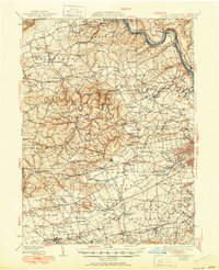
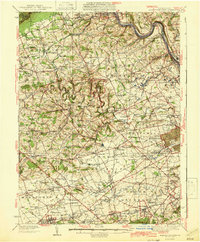
Loading map...1942 Map of Allentown West
USGS Topo · Published 1951About this map
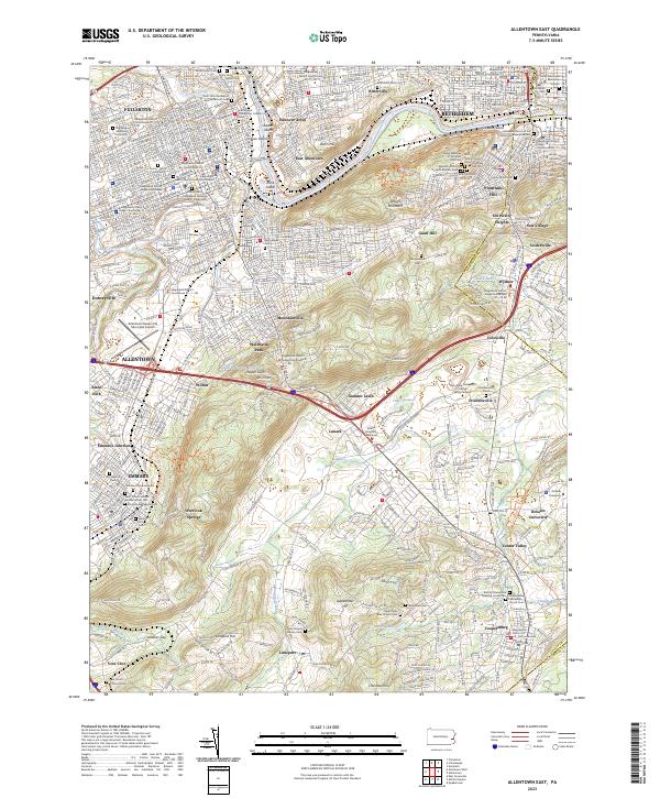
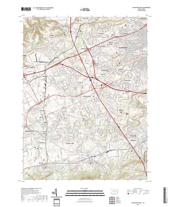
Bake Oven Knob and Lehigh Furnace anchor the northern ridge of this Pennsylvania landscape, where the Lehigh Valley's industrial and agricultural heritage is clearly etched. The map reveals a dense network of early settlements such as Slatedale, Emerald, and Fogelsville, connected by the vital routes of the Reading RR and Lehigh Valley RR. The rural character is punctuated by numerous country schools like Mantz Sch and Apple Sch, alongside historic congregational hubs including Friedens Ch and Weisenberg Ch.
Find a feature on this map
171 named features on this map. Tap any name to fly to it.
Don’t see what you’re looking for? This feature index may not catch every label — zoom into the map to look around manually.
Map Details
Date Portrayed1942
Date Published1951
PublisherU.S. Geological Survey
Map TypeTopographic
Scale1:62,500
Physical Dimensions17 x 21 inches
Editions of this 1942 Allentown West Map
3 editions found

Historical Maps of Allentown Through Time
8 maps found

Featured Locations
Source Details
SourceU.S. Geological Survey
CopyrightPublic Domain