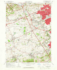
1964 Map of Allentown West
USGS Topo · Published 1966About this map
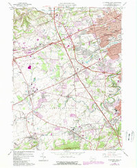
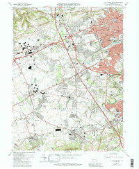
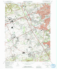
The western suburbs of Allentown and the boroughs of Macungie, Alburtis, and Emmaus are caught in a period of significant expansion during this mid-1960s survey. The landscape is a mix of traditional agricultural land, educational campuses like Muhlenberg College and Cedar Crest College, and the emerging suburban commerce represented by the Crest Plaza Shopping Center. Transportation is the driving force here, with the Reading Railroad still servicing industrial corridors while the Pennsylvania Turnpike and its Northeast Extension reshape the local geography.
Find a feature on this map
87 named features on this map. Tap any name to fly to it.
Don’t see what you’re looking for? This feature index may not catch every label — zoom into the map to look around manually.
Map Details
Editions of this 1964 Allentown West Map
7 editions found
Other maps of this area

1888 · Quakertown
USGS Topo · 1:62,500

1890 · Quakertown
USGS Topo · 1:62,500

1894 · Allentown
USGS Topo · 1:62,500

1894 · Quakertown
USGS Topo · 1:62,500

1902 · Boyertown
USGS Topo · 1:62,500

1902 · Slatington
USGS Topo · 1:62,500

1937 · Allentown West
USGS Topo · 1:48,000

1939 · Allentown
USGS Topo · 1:62,500

1942 · Norristown
USGS Topo · 1:125,000

1942 · Allentown West
USGS Topo · 1:62,500