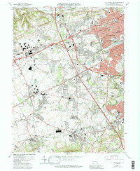
1964 Map of Allentown West
USGS Topo · Published 1992About this map
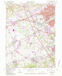
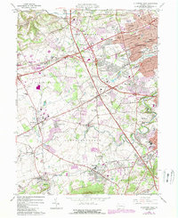
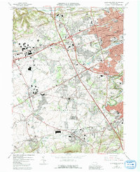
Allentown dominates the eastern edge of this landscape, its urban grid and corporate boundaries reaching toward suburban clusters like Sterlingworth and Dorneyville. The mid-century development patterns are evident in the sprawling Crest Plaza Shopping Center and residential expansion near Ancient Oaks, while the western reaches retain a more varied landscape of small settlements and industry. The industrial heritage of the region is anchored by the Lock Ridge Park and Furnace Museum near Alburtis, a reminder of the iron-producing past of the Lehigh Valley.
Find a feature on this map
83 named features on this map. Tap any name to fly to it.
Don’t see what you’re looking for? This feature index may not catch every label — zoom into the map to look around manually.
Map Details
Editions of this 1964 Allentown West Map
7 editions found
Other maps of this area

1888 · Quakertown
USGS Topo · 1:62,500

1890 · Quakertown
USGS Topo · 1:62,500

1894 · Allentown
USGS Topo · 1:62,500

1894 · Quakertown
USGS Topo · 1:62,500

1902 · Boyertown
USGS Topo · 1:62,500

1902 · Slatington
USGS Topo · 1:62,500

1937 · Allentown West
USGS Topo · 1:48,000

1939 · Allentown
USGS Topo · 1:62,500

1942 · Norristown
USGS Topo · 1:125,000

1942 · Allentown West
USGS Topo · 1:62,500