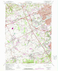
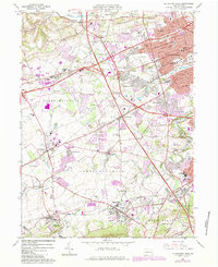
1964 Map of Allentown West
USGS Topo · Published 1984About this map
Allentown expands westward across this mid-century landscape, where the suburban growth of townships like South Whitehall and Upper Macungie meets established rural hamlets. The map documents a significant era of infrastructure development, featuring the Conrail rail lines and a dense network of local roads such as Tilghman St and Hatchery Rd. Educational and community hubs are prominent, from the campus of Muhlenberg College to the recreational corridors of Trexler Memorial Park and the Lehigh Parkway.
Find a feature on this map
97 named features on this map. Tap any name to fly to it.
Don’t see what you’re looking for? This feature index may not catch every label — zoom into the map to look around manually.
Map Details
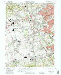
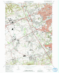
Editions of this 1964 Allentown West Map
7 editions found
Other maps of this area

1888 · Quakertown
USGS Topo · 1:62,500

1890 · Quakertown
USGS Topo · 1:62,500

1894 · Allentown
USGS Topo · 1:62,500

1894 · Quakertown
USGS Topo · 1:62,500

1902 · Boyertown
USGS Topo · 1:62,500

1902 · Slatington
USGS Topo · 1:62,500

1937 · Allentown West
USGS Topo · 1:48,000

1939 · Allentown
USGS Topo · 1:62,500

1942 · Norristown
USGS Topo · 1:125,000

1942 · Allentown West
USGS Topo · 1:62,500