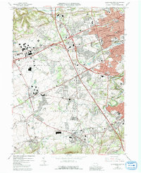
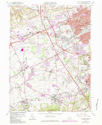
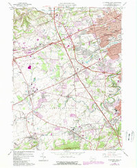
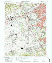
1964 Map of Allentown West
USGS Topo · Published 1992About this map
Allentown dominates the eastern edge of this mid-century landscape, showing the suburban expansion of Salisbury and South Whitehall as residential developments like Parkside Courts began to fill the spaces between older villages. The map captures a moment when the regional transportation network was evolving, centered on the Pennsylvania Turnpike Northeast Extension cutting through the heart of the Lehigh Valley. Despite this modernization, the area's industrial roots remain visible at the Lock Ridge Park and Furnace Museum in Alburtis, preserving the local iron heritage.
Find a feature on this map
77 named features on this map. Tap any name to fly to it.
Don’t see what you’re looking for? This feature index may not catch every label — zoom into the map to look around manually.
Map Details
Editions of this 1964 Allentown West Map
7 editions found
Other maps of this area

1888 · Quakertown
USGS Topo · 1:62,500

1890 · Quakertown
USGS Topo · 1:62,500

1894 · Allentown
USGS Topo · 1:62,500

1894 · Quakertown
USGS Topo · 1:62,500

1902 · Boyertown
USGS Topo · 1:62,500

1902 · Slatington
USGS Topo · 1:62,500

1937 · Allentown West
USGS Topo · 1:48,000

1939 · Allentown
USGS Topo · 1:62,500

1942 · Norristown
USGS Topo · 1:125,000

1942 · Allentown West
USGS Topo · 1:62,500