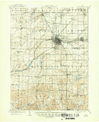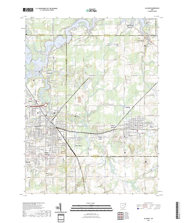
1952 Map of Alliance
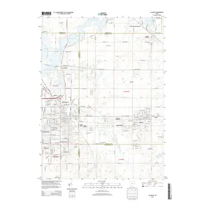
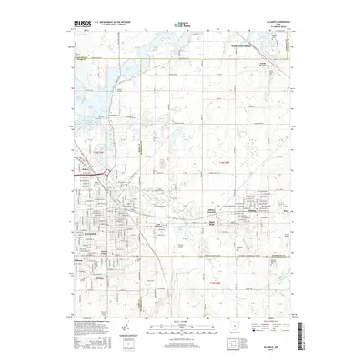
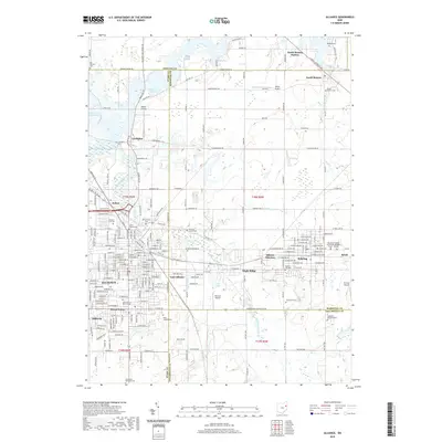
USGS Topo · Published 1965About this map
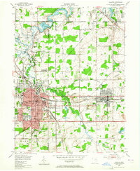
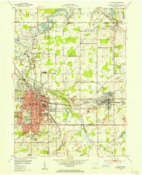
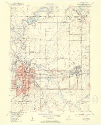
Alliance serves as the industrial and academic anchor of this mid-century landscape, where the Pennsylvania and New York Central railroads converge. The city's residential growth is evidenced by a dense network of schools, including Lincoln School, S Park School, and N Franklin School, alongside the campus of Mt Union College. The surrounding countryside maintains its rural character with family-centered landmarks like the Mile Branch Grange and small cemeteries such as Hartzel Cem and the Old German Cem. To the north, the Berlin Reservoir dominates the drainage of the Mahoning River, while smaller recreational and aviation sites like Barber Airport and the Alliance Country Club dot the periphery. The inclusion of a Strip Mine near Sebring and the extensive industrial infrastructure in East Alliance highlights the era's reliance on rail-transported natural resources and manufacturing.
Find a feature on this map
71 named features on this map. Tap any name to fly to it.
Don’t see what you’re looking for? This feature index may not catch every label — zoom into the map to look around manually.
Map Details
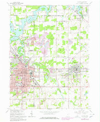
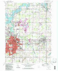
Editions of this 1952 Alliance Map
3 editions found
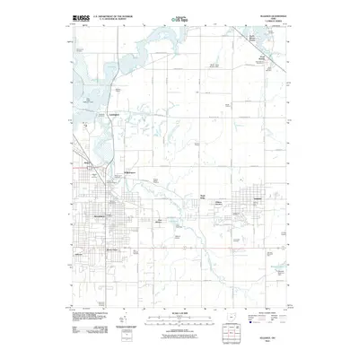
Historical Maps of Alliance Through Time
9 maps found