
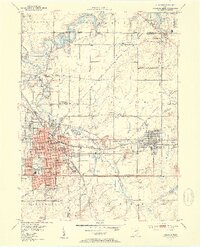
1952 Map of Alliance
USGS Topo · Published 1954About this map
The industrial and educational hub of Alliance takes center stage in this early 1950s survey, showing a landscape defined by its rail heritage and growing suburban institutions. The campus of Mt Union College anchors the city's southern side, while an extensive network of schools including Lincoln Sch, Freedom Sch, and St Joseph Sch serve the residential neighborhoods. To the north, the Mahoning River feeds into the Berlin Reservoir, where controlled inundation areas mark the changing hydrology of the region.
Find a feature on this map
69 named features on this map. Tap any name to fly to it.
Don’t see what you’re looking for? This feature index may not catch every label — zoom into the map to look around manually.
Map Details
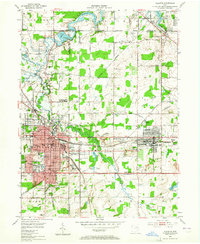
Editions of this 1952 Alliance Map
3 editions found
Other maps of this area

1906 · Ravenna
USGS Topo · 1:62,500

1908 · Warren
USGS Topo · 1:62,500

1908 · Ravenna
USGS Topo · 1:62,500

1909 · Alliance
USGS Topo · 1:62,500

1909 · Lisbon
USGS Topo · 1:62,500

1950 · Cleveland
USGS Topo · 1:250,000

1951 · Canton
USGS Topo · 1:250,000

1952 · Lake Milton
USGS Topo · 1:24,000

1952 · Damascus
USGS Topo · 1:24,000

1953 · Canton
USGS Topo · 1:250,000