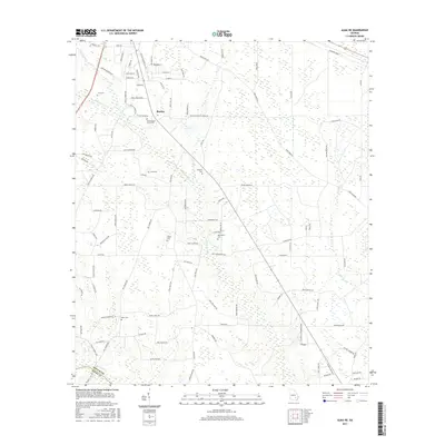
2017 Map of Alma NE
USGS Topo · Published 2017About this map
The southern edge of Baxley sits at the northern boundary of this landscape, where the town grid gives way to the agricultural and wooded expanses of the coastal plain. The terrain is defined by a dendritic network of drainages, including Sweetwater Cr and Black Water Cr, which snake through the lowlands toward the Appling Co and Bacon Co line. In the southern reaches, Big Satilla Cr marks the jurisdictional border amidst a complex series of wetland breaks.
Find a feature on this map
105 named features on this map. Tap any name to fly to it.
Don’t see what you’re looking for? This feature index may not catch every label — zoom into the map to look around manually.
Map Details
Editions of this 2017 Alma NE Map
This is the sole edition of this map. No revisions or reprints were ever made.
Other maps of this area

1953 · Waycross
USGS Topo · 1:250,000

1958 · Waycross
USGS Topo · 1:250,000
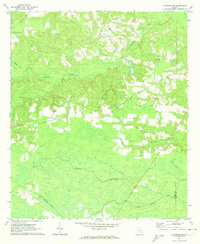
1970 · Altamaha SW
USGS Topo · 1:24,000

1970 · Pine Grove
USGS Topo · 1:24,000

1970 · Baxley
USGS Topo · 1:24,000

1971 · Surrency
USGS Topo · 1:24,000

1971 · Coffee
USGS Topo · 1:24,000

1971 · K'ville
USGS Topo · 1:24,000

1971 · Alma NW
USGS Topo · 1:24,000

1971 · Alma
USGS Topo · 1:24,000