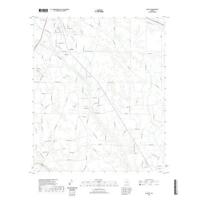
2020 Map of Alma NE
USGS Topo · Published 2020About this map
Baxley sits at the northern edge of this landscape where the coastal plain begins to transition into the drainage basins of the Big Satilla Cr. This 2020 survey reveals a rural network defined by family-named roads and numerous small cemeteries, suggesting a long history of local settlement and genealogical depth in Appling County. The terrain is marked by distinctive breaks such as Wheaton Break and Swain Break, while waterways like Black Water Cr and Sweetwater Cr wind through the pine-dominated lowlands. Researchers will find several significant burial sites, including the Old Pleasant Grove Cem and Lynn Cem, which serve as vital landmarks for tracing the area's heritage. The boundary between Appling Co and Bacon Co is clearly delineated near the southern reaches of the map.
Find a feature on this map
109 named features on this map. Tap any name to fly to it.
Don’t see what you’re looking for? This feature index may not catch every label — zoom into the map to look around manually.
Map Details
Editions of this 2020 Alma NE Map
This is the sole edition of this map. No revisions or reprints were ever made.
Other maps of this area

1953 · Waycross
USGS Topo · 1:250,000

1958 · Waycross
USGS Topo · 1:250,000
1970 · Altamaha SW
USGS Topo · 1:24,000

1970 · Pine Grove
USGS Topo · 1:24,000

1970 · Baxley
USGS Topo · 1:24,000

1971 · Surrency
USGS Topo · 1:24,000

1971 · Coffee
USGS Topo · 1:24,000

1971 · K'ville
USGS Topo · 1:24,000

1971 · Alma NW
USGS Topo · 1:24,000

1971 · Alma
USGS Topo · 1:24,000