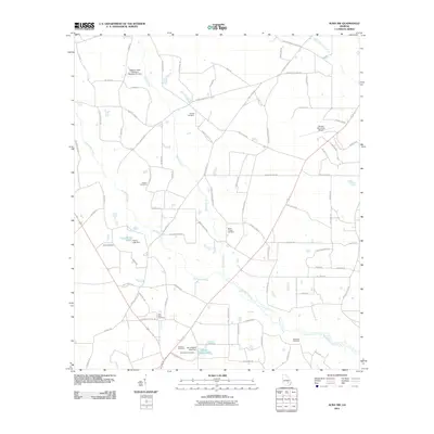
2011 Map of Alma NW
USGS Topo · Published 2011About this map
Big Satilla Creek meanders through this portion of Appling County, defining a landscape of wetlands and managed water features. The area is marked by numerous family and community burial grounds, including Corinth Cemetery, Altman Cemetery, and Miles Chapel Cemetery, which serve as vital touchstones for local genealogy. This 2011 survey reveals a rural infrastructure dependent on water management, evidenced by the Bishop Creek Structure Number Six Dam and Tanner Lake Dam.
Find a feature on this map
84 named features on this map. Tap any name to fly to it.
Don’t see what you’re looking for? This feature index may not catch every label — zoom into the map to look around manually.
Map Details
Editions of this 2011 Alma NW Map
This is the sole edition of this map. No revisions or reprints were ever made.
Other maps of this area

1953 · Waycross
USGS Topo · 1:250,000

1958 · Waycross
USGS Topo · 1:250,000

1970 · Pine Grove
USGS Topo · 1:24,000

1970 · Baxley
USGS Topo · 1:24,000

1971 · Nicholls NE
USGS Topo · 1:24,000

1971 · Coffee
USGS Topo · 1:24,000

1971 · Alma NW
USGS Topo · 1:24,000

1971 · Hazlehurst South
USGS Topo · 1:24,000

1971 · Alma
USGS Topo · 1:24,000

1971 · Sessoms
USGS Topo · 1:24,000