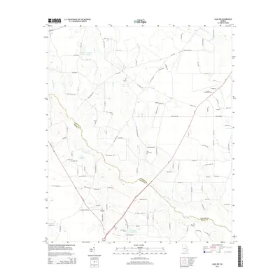
2014 Map of Alma NW
USGS Topo · Published 2014About this map
The Big Satilla Cr winds through this rural landscape along the border of Appling and Bacon County in southeastern Georgia. This region is defined by its network of creeks and small water bodies, including Bishop Cr and the Bishop Cr Structure Number Six Lake. The settlement pattern is largely agricultural, with numerous family and community cemeteries such as Corinth Cem, Altman Cem, and Miles Chapel Cem serving as landmarks for local genealogists. In the northeast corner, the Baxley Municipal Airport sits near the junction of several county roads and Ga-4, reflecting the area's modern transportation infrastructure while maintaining its quiet, rural character. The map also captures several private water features like Tanner Lake and Bar-O-Ranch Lake, illustrating the local land use and drainage patterns of the coastal plain.
Find a feature on this map
104 named features on this map. Tap any name to fly to it.
Don’t see what you’re looking for? This feature index may not catch every label — zoom into the map to look around manually.
Map Details
Editions of this 2014 Alma NW Map
This is the sole edition of this map. No revisions or reprints were ever made.
Other maps of this area

1953 · Waycross
USGS Topo · 1:250,000

1958 · Waycross
USGS Topo · 1:250,000

1970 · Pine Grove
USGS Topo · 1:24,000

1970 · Baxley
USGS Topo · 1:24,000

1971 · Nicholls NE
USGS Topo · 1:24,000

1971 · Coffee
USGS Topo · 1:24,000

1971 · Alma NW
USGS Topo · 1:24,000

1971 · Hazlehurst South
USGS Topo · 1:24,000

1971 · Alma
USGS Topo · 1:24,000

1971 · Sessoms
USGS Topo · 1:24,000