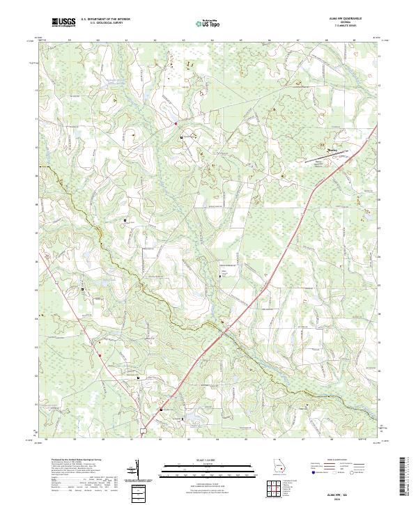
2024 Map of Alma NW
USGS Topo · Published 2024About this map
Big Satilla Creek winds through the borderlands between Appling and Bacon counties, anchoring a landscape of agricultural roads and scattered rural cemeteries. The southern outskirts of Baxley define the northeast corner of the sheet, where the Baxley Municipal Airport and the junction of Hatch Pkwy S and Airport Dr serve as local transportation hubs. This modern survey illustrates how long-standing family and community landmarks persist alongside current infrastructure. Numerous small burial grounds, such as Corinth Cem, Altman Cem, and New Hope Cem, are tucked away along routes like Co Farm Rd and Altman Rd. Water management is prominent in the northern reach, evidenced by the Bishop Cr Structure Number Six Lake, while smaller bodies like Tanner Lake and Bar-O-Ranch Lake punctuate the timber and farmland.
Find a feature on this map
117 named features on this map. Tap any name to fly to it.
Don’t see what you’re looking for? This feature index may not catch every label — zoom into the map to look around manually.
Map Details
Editions of this 2024 Alma NW Map
This is the sole edition of this map. No revisions or reprints were ever made.
Other maps of this area

1953 · Waycross
USGS Topo · 1:250,000

1958 · Waycross
USGS Topo · 1:250,000

1970 · Pine Grove
USGS Topo · 1:24,000

1970 · Baxley
USGS Topo · 1:24,000

1971 · Nicholls NE
USGS Topo · 1:24,000

1971 · Coffee
USGS Topo · 1:24,000

1971 · Alma NW
USGS Topo · 1:24,000

1971 · Hazlehurst South
USGS Topo · 1:24,000

1971 · Alma
USGS Topo · 1:24,000

1971 · Sessoms
USGS Topo · 1:24,000