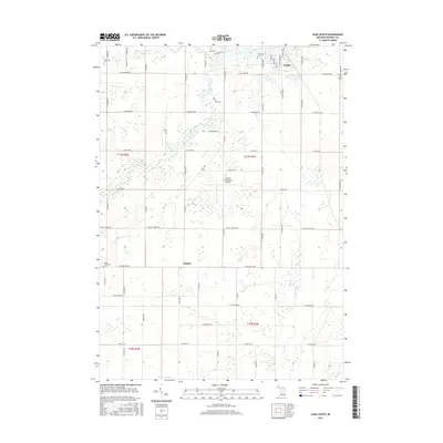
2017 Map of Alma South
USGS Topo · Published 2017About this map
Alma sits at the northern edge of this Gratiot County landscape, where the Pine River and Honeyoey Cr converge amidst a well-defined grid of section lines and agricultural roads. The southern outskirts of the city are characterized by civic and commemorative sites, including the large Riverside Cem and the Gratiot Community Airport to the west. Further south, the terrain transitions into a more rural pattern of drainage networks like the Newark Drain and Coles Cr, supporting the local farming economy.
Find a feature on this map
63 named features on this map. Tap any name to fly to it.
Don’t see what you’re looking for? This feature index may not catch every label — zoom into the map to look around manually.
Map Details
Editions of this 2017 Alma South Map
This is the sole edition of this map. No revisions or reprints were ever made.
Other maps of this area

1918 · Perrinton
USGS Topo · 1:62,500

1935 · Alma
USGS Topo · 1:62,500

1938 · Alma
USGS Topo · 1:62,500

1943 · Perrinton
USGS Topo · 1:62,500

1954 · Midland
USGS Topo · 1:250,000

1958 · Midland
USGS Topo · 1:250,000

1959 · Midland
USGS Topo · 1:250,000

1965 · Sumner
USGS Topo · 1:24,000
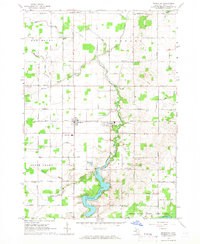
1965 · Perrinton
USGS Topo · 1:24,000
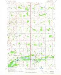
1965 · Pompeii
USGS Topo · 1:24,000