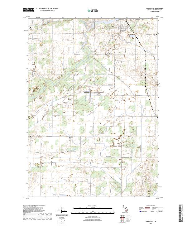
2023 Map of Alma South
USGS Topo · Published 2023About this map
Alma serves as the northern anchor of this Gratiot County landscape, where the Pine River winds through the city’s southern edge. The map captures a detailed grid of rural township roads, revealing the agricultural and residential structure between the northern urban center and the smaller settlement of Eugene further south. Notable for family history researchers, the terrain is dotted with local burial grounds including Pritchard Cem, Bailey Cem, and the Roosa Farm Cem near the western boundary.
Find a feature on this map
64 named features on this map. Tap any name to fly to it.
Don’t see what you’re looking for? This feature index may not catch every label — zoom into the map to look around manually.
Map Details
Editions of this 2023 Alma South Map
This is the sole edition of this map. No revisions or reprints were ever made.
Other maps of this area

1918 · Perrinton
USGS Topo · 1:62,500

1935 · Alma
USGS Topo · 1:62,500

1938 · Alma
USGS Topo · 1:62,500

1943 · Perrinton
USGS Topo · 1:62,500

1954 · Midland
USGS Topo · 1:250,000

1958 · Midland
USGS Topo · 1:250,000

1959 · Midland
USGS Topo · 1:250,000

1965 · Sumner
USGS Topo · 1:24,000
1965 · Perrinton
USGS Topo · 1:24,000
1965 · Pompeii
USGS Topo · 1:24,000