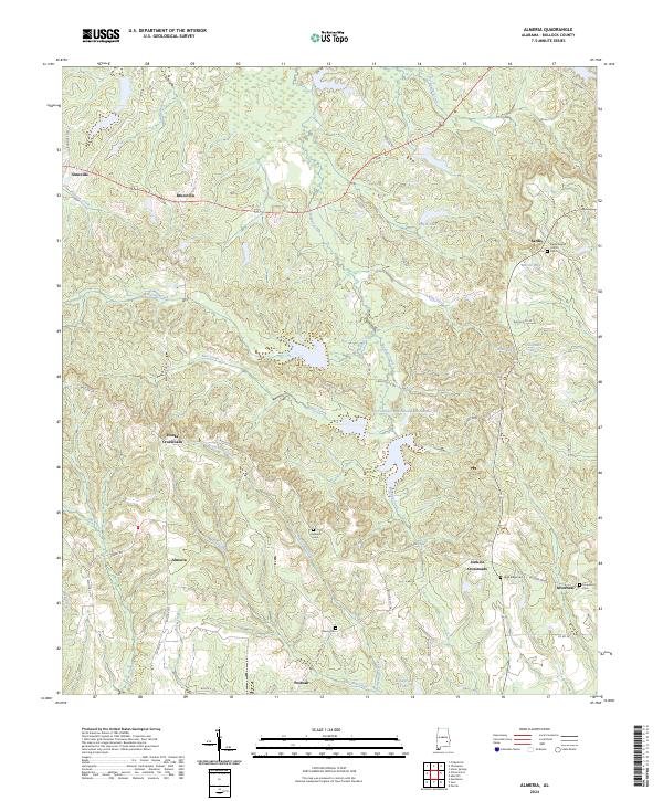
2024 Map of Almeria
USGS Topo · Published 2024About this map
The crossroads of Almeria and Inverness anchor this portion of Bullock County, where the landscape is defined by the winding drainages of Bughall Creek and Beaverdam Creek. This rural section of Alabama preserves a network of family and community landmarks, particularly evident in the distribution of historic burial grounds like Hubbard Cem and Liberty Cem. The settlement pattern follows established ridges and creek valleys, connecting small hamlets such as Simsville and Bruceville via local routes like Bullock Co 87.
Find a feature on this map
57 named features on this map. Tap any name to fly to it.
Don’t see what you’re looking for? This feature index may not catch every label — zoom into the map to look around manually.
Map Details
Editions of this 2024 Almeria Map
This is the sole edition of this map. No revisions or reprints were ever made.
Historical Maps of Postoak Through Time
12 maps found
1968 Perote
Bullock County, AL
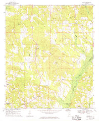
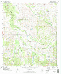
1971 Almeria
Bullock County, AL
1971 China Grove
Bullock County, AL
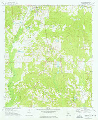
1971 Thompson
Bullock County, AL
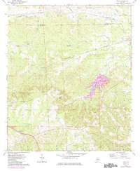
1973 Aberfoil
Bullock County, AL
1973 Roba
Bullock County, AL
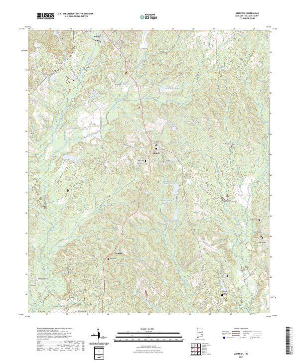
2024 Aberfoil
Bullock County, AL
2024 Almeria
Bullock County, AL
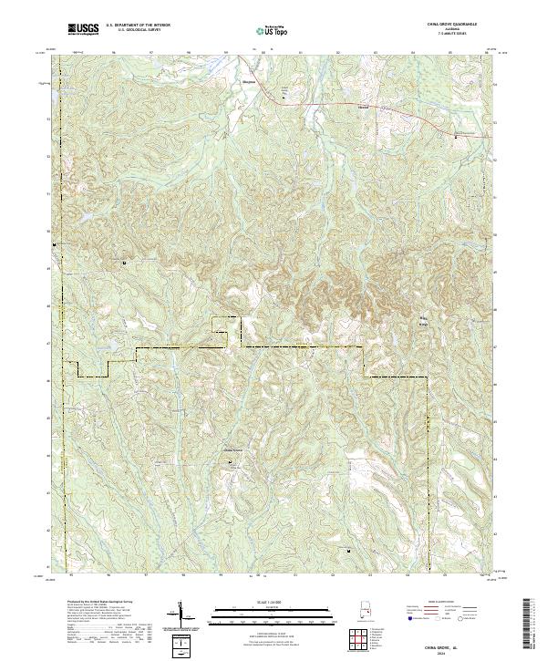
2024 China Grove
Bullock County, AL
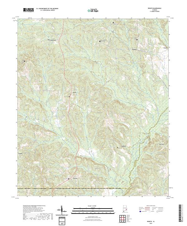
2024 Perote
Bullock County, AL
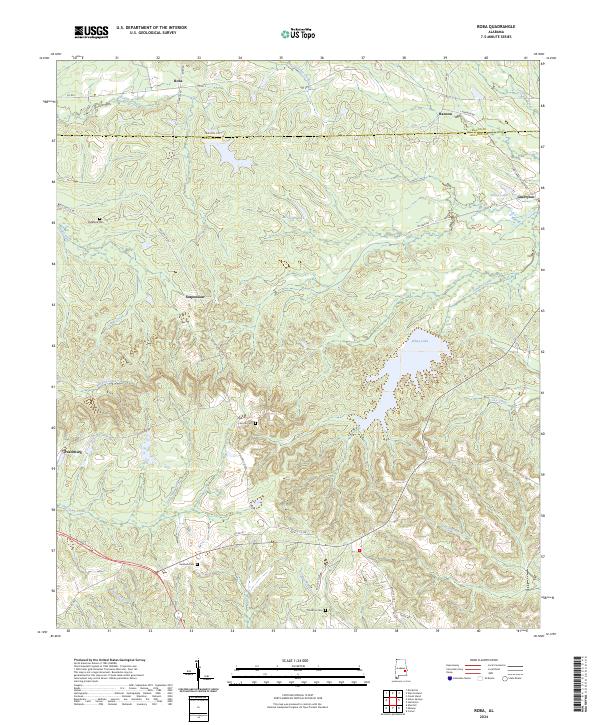
2024 Roba
Bullock County, AL
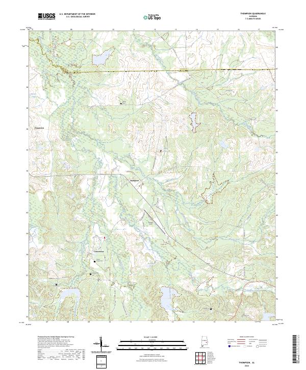
2024 Thompson
Bullock County, AL