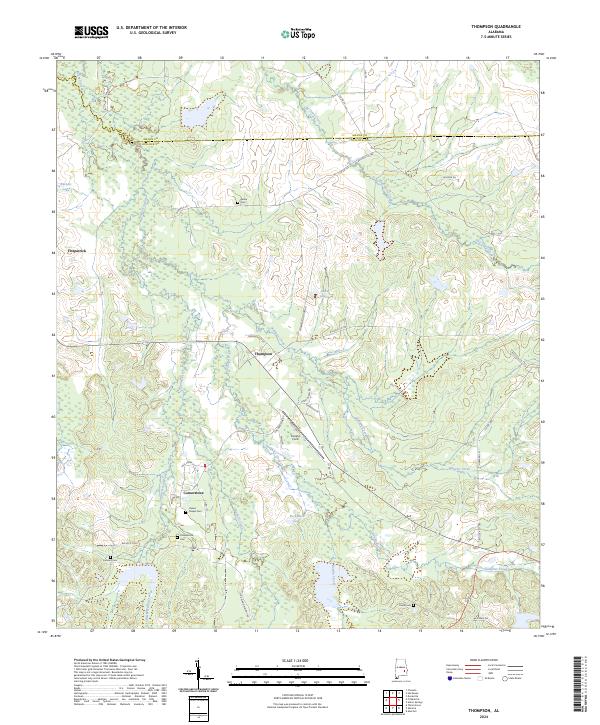
2024 Map of Thompson
USGS Topo · Published 2024About this map
Bughall Creek and its many tributaries, including Leatherbritches Creek and Ellis Creek, carve through this section of the coastal plain where the Macon Co and Bullock Co border is defined. The landscape is dotted with small, family-connected settlements like Fitzpatrick, Thompson, and Cornerstone. These communities are anchored by deep-rooted local history, evidenced by several scattered burial sites such as Haines Chapel Cem, Penile Cem, and the Paulk Cem.
Find a feature on this map
42 named features on this map. Tap any name to fly to it.
Don’t see what you’re looking for? This feature index may not catch every label — zoom into the map to look around manually.
Map Details
Editions of this 2024 Thompson Map
This is the sole edition of this map. No revisions or reprints were ever made.
Other maps of this area

1955 · Phenix City
USGS Topo · 1:250,000

1957 · Phenix City
USGS Topo · 1:250,000

1958 · Phenix City
USGS Topo · 1:250,000
1971 · China Grove
USGS Topo · 1:24,000

1971 · Hardaway
USGS Topo · 1:24,000

1971 · Thompson
USGS Topo · 1:24,000
1971 · Fitzpatrick
USGS Topo · 1:24,000
1971 · Chesson
USGS Topo · 1:24,000
1971 · Almeria
USGS Topo · 1:24,000
1973 · Union Springs
USGS Topo · 1:24,000