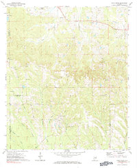
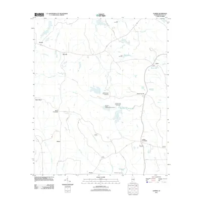
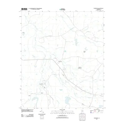
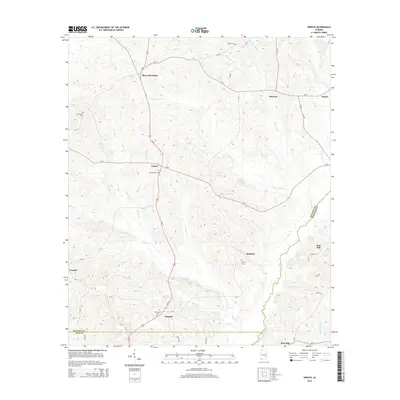
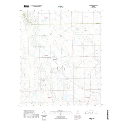
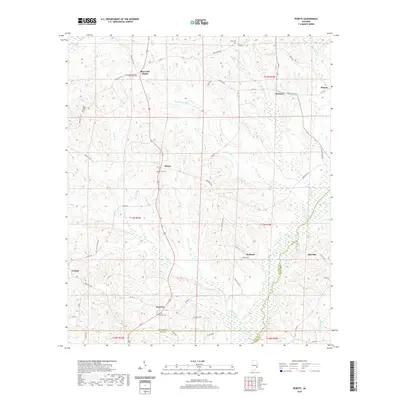
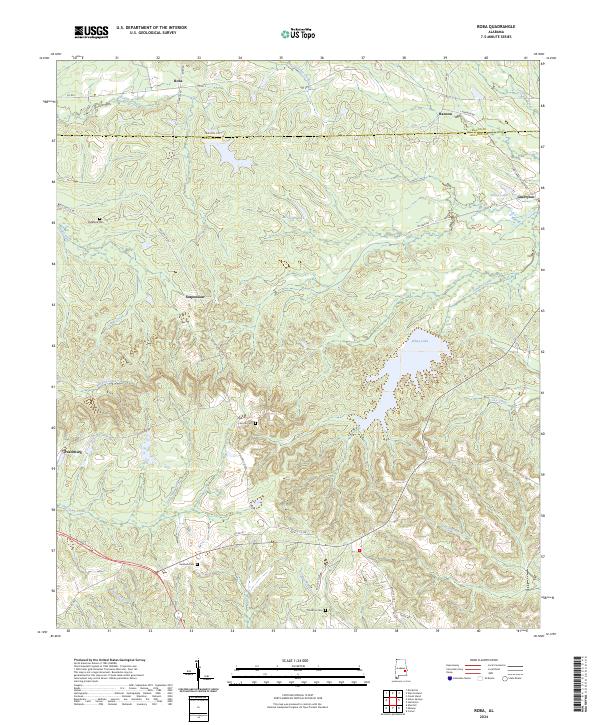
1973 Map of Roba
USGS Topo · Published 1984About this map
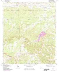
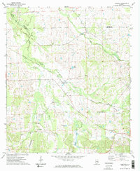
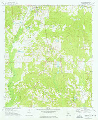
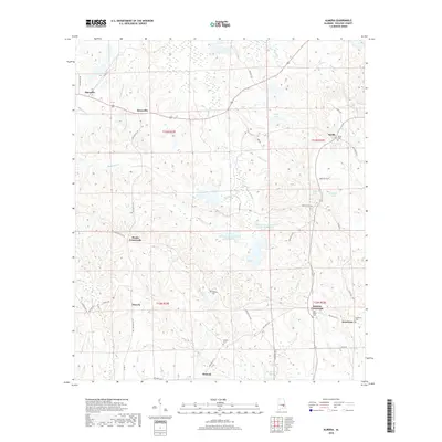
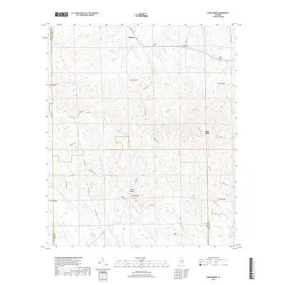
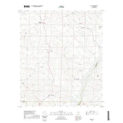
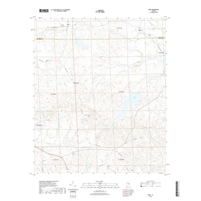
The Macon and Bullock County line bisects this landscape of the Wiregrass region, where the Seaboard and Central of Georgia railroads once shaped the development of small railside communities like Roba, Hannon, and Suspension. The topography is defined by the headwaters of the Pea River and numerous winding creeks, including Prairie Creek and Moseley Creek. A notable 1984 update to the map, shown in purple, highlights the expansion of Lake Cawikee in the eastern portion of the quadrangle.
Find a feature on this map
36 named features on this map. Tap any name to fly to it.
Don’t see what you’re looking for? This feature index may not catch every label — zoom into the map to look around manually.
Map Details
Editions of this 1973 Roba Map
2 editions found
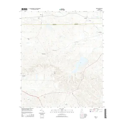
Historical Maps of Hannon Through Time
36 maps found
1968 Perote
Bullock County, AL
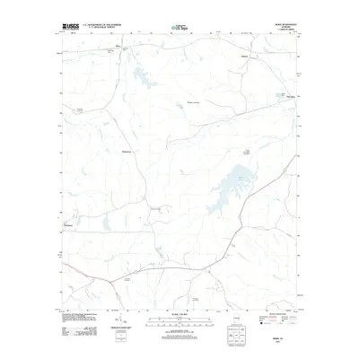
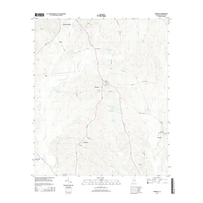
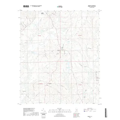
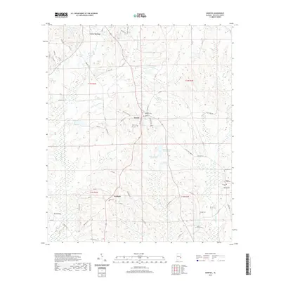
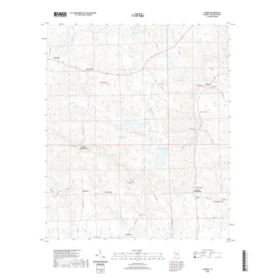
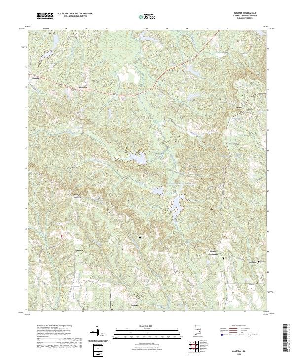
1971 Almeria
Bullock County, AL
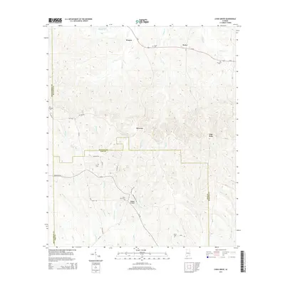
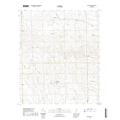
1971 China Grove
Bullock County, AL
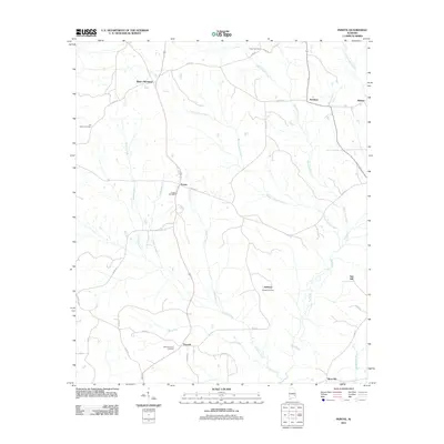
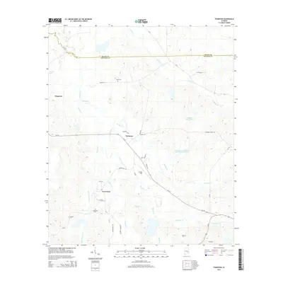
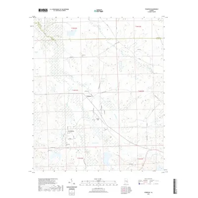
1971 Thompson
Bullock County, AL
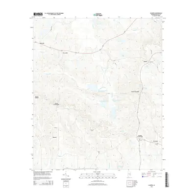
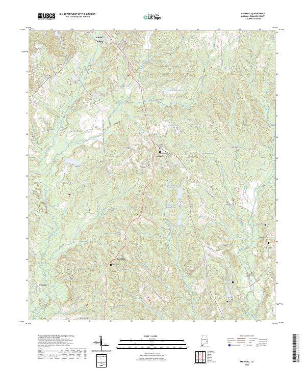
1973 Aberfoil
Bullock County, AL
1973 Roba
Bullock County, AL
2011 Aberfoil
Bullock County, AL
2011 Almeria
Bullock County, AL
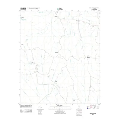
2011 China Grove
Bullock County, AL
2011 Perote
Bullock County, AL
2011 Roba
Bullock County, AL
2011 Thompson
Bullock County, AL
2014 Aberfoil
Bullock County, AL
2014 Almeria
Bullock County, AL
2014 China Grove
Bullock County, AL
2014 Perote
Bullock County, AL
2014 Roba
Bullock County, AL
2014 Thompson
Bullock County, AL
2018 Aberfoil
Bullock County, AL
2018 Almeria
Bullock County, AL
2018 China Grove
Bullock County, AL
2018 Perote
Bullock County, AL
2018 Roba
Bullock County, AL
2018 Thompson
Bullock County, AL
2020 Aberfoil
Bullock County, AL
2020 Almeria
Bullock County, AL
2020 China Grove
Bullock County, AL
2020 Perote
Bullock County, AL

2020 Roba
Bullock County, AL
2020 Thompson
Bullock County, AL
2024 Aberfoil
Bullock County, AL
2024 Almeria
Bullock County, AL
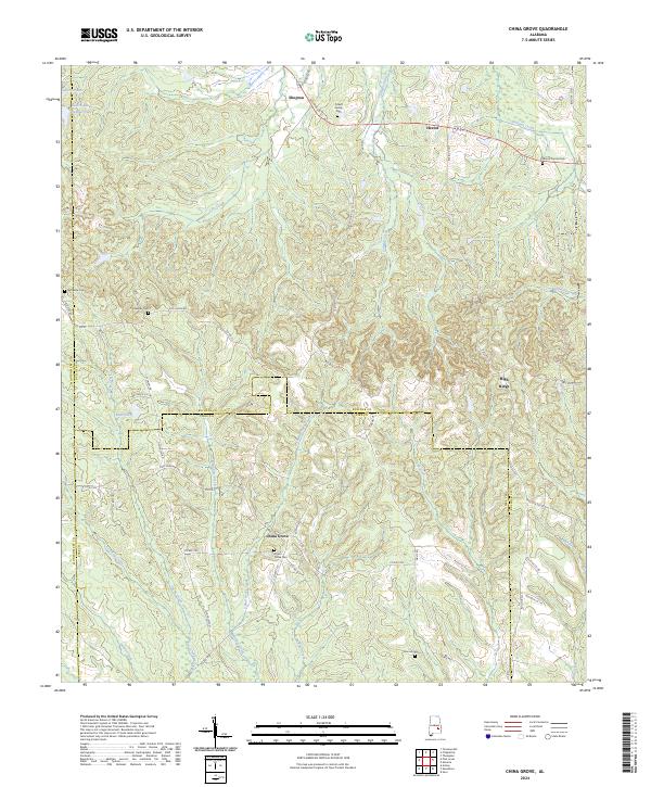
2024 China Grove
Bullock County, AL
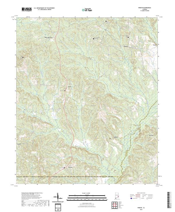
2024 Perote
Bullock County, AL
2024 Roba
Bullock County, AL
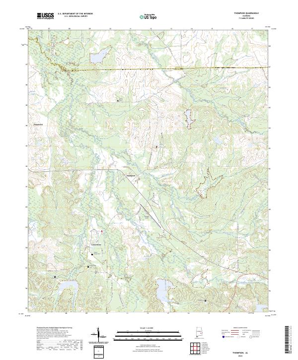
2024 Thompson
Bullock County, AL