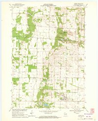
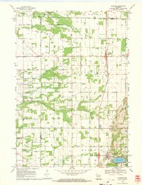
1969 Map of Almond
USGS Topo · Published 1972About this map
The village of Almond serves as a hub for this rural Portage County landscape in the late 1960s, defined by its position along the Chicago and North Western railway. The topography transitions from the open flats of Buena Vista in the northwest to more undulating terrain punctuated by small kettle lakes like Tamarack Lake, Patterson Lake, and Washburn Lake. This map is particularly valuable for genealogical research, documenting several distinct local burying grounds including Lone Pine Cem, Spiritland Cem, and East German Cem. The rural social fabric of the time is visible through landmarks such as St Martins Ch, Frost Park, and the small settlement of Keene. Numerous gravel pits scattered across the landscape indicate the local extractive industry that supported the road network, including Brady Road and 5th Avenue.
Find a feature on this map
34 named features on this map. Tap any name to fly to it.
Don’t see what you’re looking for? This feature index may not catch every label — zoom into the map to look around manually.
Map Details
Editions of this 1969 Almond Map
This is the sole edition of this map. No revisions or reprints were ever made.
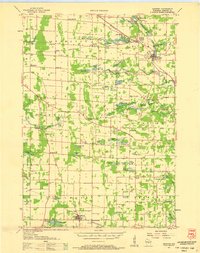
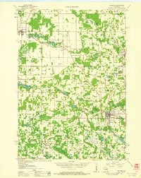
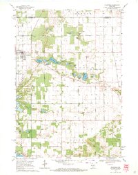
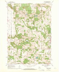
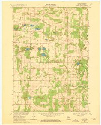
Other maps of this area

1955 · Green Bay
USGS Topo · 1:250,000
1957 · Amherst
USGS Topo · 1:48,000

1957 · Whiting
USGS Topo · 1:48,000

1958 · Coloma
USGS Topo · 1:48,000
1959 · Wautoma
USGS Topo · 1:48,000
1968 · Plainfield
USGS Topo · 1:24,000
1968 · Hancock
USGS Topo · 1:24,000
1968 · Wautoma NE
USGS Topo · 1:24,000
1969 · Blaine
USGS Topo · 1:24,000
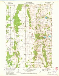
1969 · Arnott
USGS Topo · 1:24,000