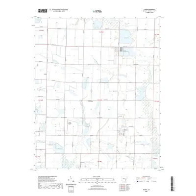
2020 Map of Almyra
USGS Topo · Published 2020About this map
The settlement of Almyra anchors this corner of Arkansas County, surrounded by an extensive network of drainage ditches and reservoirs characteristic of the region's agricultural infrastructure. Modern transportation is defined by the Almyra Municipal Airport and the intersection of State Hwy 130 and State Hwy 153, which connect smaller communities like Yoder and Holdridge. The landscape is etched with the courses of Mill Bayou and Little LaGrue Bayou, while agricultural management is evident in the presence of Ditch Number 1 and Walworth Reservoir.
Find a feature on this map
50 named features on this map. Tap any name to fly to it.
Don’t see what you’re looking for? This feature index may not catch every label — zoom into the map to look around manually.
Map Details
Editions of this 2020 Almyra Map
This is the sole edition of this map. No revisions or reprints were ever made.
Other maps of this area

1935 · Clarendon
USGS Topo · 1:62,500

1937 · Stuttgart
USGS Topo · 1:62,500

1939 · Stuttgart
USGS Topo · 1:62,500

1941 · De Witt
USGS Topo · 1:62,500

1941 · Goldman
USGS Topo · 1:62,500

1941 · Clarendon
USGS Topo · 1:62,500

1948 · Helena
USGS Topo · 1:250,000

1950 · Helena
USGS Topo · 1:250,000

1954 · De Witt
USGS Topo · 1:62,500

1955 · Helena
USGS Topo · 1:250,000