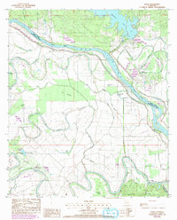
1983 Map of Aloha
USGS Topo · Published 1992About this map
The Red River and its intricate network of bayous define the boundary between Grant Parish and Natchitoches Parish in this 1980s landscape. The map illustrates a region where river management and resource extraction dominate the local economy, most notably at the Aloha Oil Field. Small riverfront settlements like Aloha and Odra are connected by a web of waterways including Nantachie Creek and Cocodrie Bayou. Genealogists will find interest in the scattered country churches such as St Simons Ch and St Marys Ch, alongside the Marco Cem near the southern settlement of Marco. The presence of the Little Eva Plantation Landing Strip near Cane River highlights the transition from historic land use to modern utility, while numerous oxbow lakes like Lake Cocodrie and Nantachie Lake reveal the river's shifting path over time.
Find a feature on this map
39 named features on this map. Tap any name to fly to it.
Don’t see what you’re looking for? This feature index may not catch every label — zoom into the map to look around manually.
Map Details
Editions of this 1983 Aloha Map
2 editions found
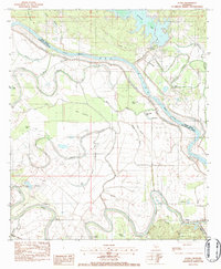
Other maps of this area

1932 · Colfax SW
USGS Topo · 1:31,680

1932 · Colfax NW
USGS Topo · 1:31,680

1935 · Verda
USGS Topo · 1:31,680

1936 · Colfax
USGS Topo · 1:62,500

1937 · Chopin NE
USGS Topo · 1:31,680

1937 · Chopin NW
USGS Topo · 1:31,680

1937 · Aloha
USGS Topo · 1:31,680

1937 · Montgomery
USGS Topo · 1:62,500

1937 · Cloutierville
USGS Topo · 1:31,680

1941 · Boyce
USGS Topo · 1:62,500