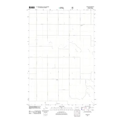
2011 Map of Alpha
USGS Topo · Published 2011About this map
Alpha sits at the heart of this rural North Dakota landscape, where the section-line grid of the western plains is interrupted by the meandering course of Bullion Creek. The creek's winding path provides a stark contrast to the rigid geometry of roads like Red Hills Rd and County Rd 11. This area, recorded in the early 21st century, reflects a enduring ranching economy, with named holdings such as Underwood Ranch in the north and Remillong Ranch near the southern border. The presence of Pipeline Rd cutting across the northern sections speaks to the infrastructure supporting regional energy transport. Local travel is facilitated by a network of numbered section roads, including Alpha Rd and 52nd St SW, which link the isolated homesteads and ranching operations across this open terrain.
Find a feature on this map
23 named features on this map. Tap any name to fly to it.
Don’t see what you’re looking for? This feature index may not catch every label — zoom into the map to look around manually.
Map Details
Editions of this 2011 Alpha Map
This is the sole edition of this map. No revisions or reprints were ever made.
Other maps of this area

1953 · Dickinson
USGS Topo · 1:250,000

1957 · Dickinson
USGS Topo · 1:250,000

1979 · Sentinel Butte SE
USGS Topo · 1:24,000

1979 · Three V Crossing
USGS Topo · 1:24,000

1979 · Square Butte
USGS Topo · 1:24,000

1980 · Golva
USGS Topo · 1:24,000

1980 · Spring Creek
USGS Topo · 1:24,000

1980 · Thelan
USGS Topo · 1:24,000

1980 · Alpha
USGS Topo · 1:24,000

1980 · Belfield
USGS Topo · 1:100,000