
1980 Map of Thelan
USGS Topo · Published 1980About this map
The small settlement of Thelan stands as a rail-side focal point in this 1980 survey of western North Dakota. Anchored by a Grain Elevator and the tracks of the Burlington Northern, the area illustrates the vital connection between Great Plains agriculture and rail transport during the late 20th century. To the south, Ekre and Golva mark further points of habitation across a landscape defined by prominent geological formations. The topography is punctuated by rising landforms like Rocky Butte and Lone Butte, while Garner Creek and its North Fork carve drainage patterns through the terrain. This map serves as a record of the rural infrastructure in Golden Valley County, where isolated wells and section-line roads connect scattered farmsteads across the broad townships of Beach and Lone Tree.
Find a feature on this map
12 named features on this map. Tap any name to fly to it.
Don’t see what you’re looking for? This feature index may not catch every label — zoom into the map to look around manually.
Map Details
Editions of this 1980 Thelan Map
This is the sole edition of this map. No revisions or reprints were ever made.
Other maps of this area

1953 · Miles City
USGS Topo · 1:250,000

1953 · Dickinson
USGS Topo · 1:250,000

1957 · Dickinson
USGS Topo · 1:250,000

1957 · Miles City
USGS Topo · 1:250,000

1958 · Miles City
USGS Topo · 1:250,000

1979 · Sentinel Butte SE
USGS Topo · 1:24,000

1980 · Golva
USGS Topo · 1:24,000
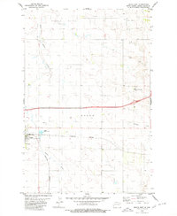
1980 · Beach East
USGS Topo · 1:24,000
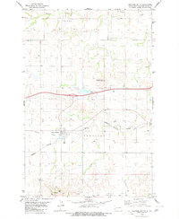
1980 · Sentinel Butte
USGS Topo · 1:24,000

1980 · Alpha
USGS Topo · 1:24,000