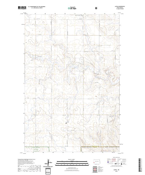
2024 Map of Alpha
USGS Topo · Published 2024About this map
Alpha Cem sits at the center of this remote landscape in Golden Valley and Slope counties, marking a localized pocket of settlement within a region largely defined by public land management. This portion of southwestern North Dakota is dominated by the Little Missouri National Grassland, where the drainage of Bullion Creek carves a complex network of coulees and draws through the high plains. The transition between T137N and T136N reveals the boundary between Golden Valley Co and Slope Co, illustrating the strictly partitioned grid of the Public Land Survey System that dictates the placement of section lines and local roads like Pipeline Rd. Apart from the small airfield at Boyd's Turf Airport, the area is characterized by open ranchland and topographic relief associated with the Missouri Plateau's erosion patterns.
Find a feature on this map
20 named features on this map. Tap any name to fly to it.
Don’t see what you’re looking for? This feature index may not catch every label — zoom into the map to look around manually.
Map Details
Editions of this 2024 Alpha Map
This is the sole edition of this map. No revisions or reprints were ever made.
Other maps of this area

1953 · Dickinson
USGS Topo · 1:250,000

1957 · Dickinson
USGS Topo · 1:250,000

1979 · Sentinel Butte SE
USGS Topo · 1:24,000

1979 · Three V Crossing
USGS Topo · 1:24,000

1979 · Square Butte
USGS Topo · 1:24,000

1980 · Golva
USGS Topo · 1:24,000

1980 · Spring Creek
USGS Topo · 1:24,000

1980 · Thelan
USGS Topo · 1:24,000

1980 · Alpha
USGS Topo · 1:24,000

1980 · Belfield
USGS Topo · 1:100,000