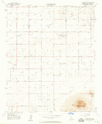
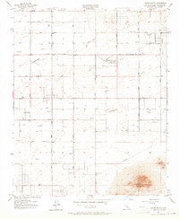
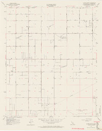
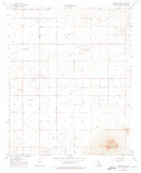
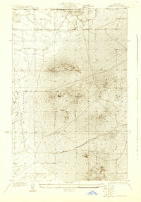
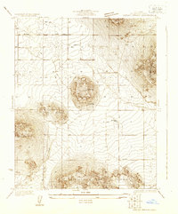
1957 Map of Alpine Butte
USGS Topo · Published 1958About this map
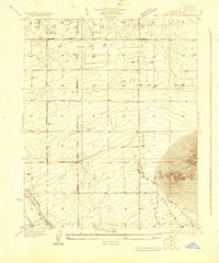
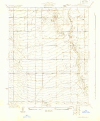
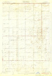
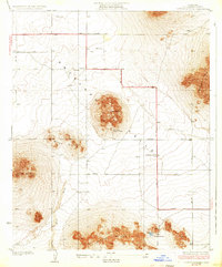
Alpine Butte rises sharply above the desert floor, anchoring a landscape defined by sparse water and early aviation infrastructure in the mid-1950s. The presence of the Antelope Valley Pilots Club Landing Field and several secondary Landing Strips reflects the region's importance to flight operations and navigation, bolstered by the Radio Range Sta. While the terrain is largely arid, Rock Creek provides a natural drainage feature near the base of the buttes. A rigid grid of survey roads and a prominent Telephone line underscore the systematic organization of this section of the High Desert during a period of steady utility expansion. This survey captures the area before modern development, marking landmarks such as Rocky Buttes and the elevation marker at Tom VABM 3259.
Find a feature on this map
9 named features on this map. Tap any name to fly to it.
Don’t see what you’re looking for? This feature index may not catch every label — zoom into the map to look around manually.
Map Details
Editions of this 1957 Alpine Butte Map
4 editions found
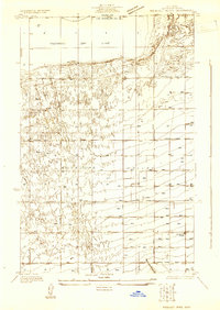
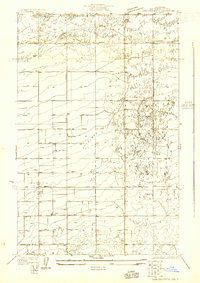
Other maps of this area

1915 · Elizabeth Lake
USGS Topo · 1:125,000

1917 · Elizabeth Lake
USGS Topo · 1:125,000
1930 · Joshua
USGS Topo · 1:24,000
1930 · Lovejoy Springs
USGS Topo · 1:24,000
1930 · Roosevelt School
USGS Topo · 1:24,000
1930 · Casa Desierta
USGS Topo · 1:24,000
1930 · West Alpine Butte
USGS Topo · 1:24,000
1930 · Tierra Bonita
USGS Topo · 1:24,000
1933 · Casa Desierta
USGS Topo · 1:24,000
1933 · Lovejoy Springs
USGS Topo · 1:24,000