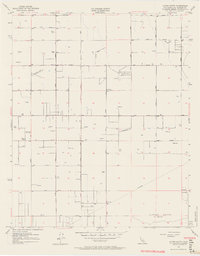
1957 Map of Alpine Butte
USGS Topo · Published 1964About this map
Alpine Butte and the Rocky Buttes dominate this high-desert landscape in northern Los Angeles County during the late 1950s. The survey reveals a rigid grid of unpaved roads and landing strips, including the Antelope Valley Pilots Club Landing Field, which speaks to the era's reliance on private aviation in these remote stretches. Water management is a primary theme of the terrain, with dozens of wells and small reservoirs scattered among the sections, illustrating the intensive effort to sustain life and agriculture in the arid Antelope Valley. Modern infrastructure such as a Radio Range Sta and a long-distance Telephone line run alongside traditional features like Rock Creek. The map provides a precise layout of the developing thoroughfares, from East Avenue F down to East Avenue N, long before the area's later suburban expansion.
Find a feature on this map
23 named features on this map. Tap any name to fly to it.
Don’t see what you’re looking for? This feature index may not catch every label — zoom into the map to look around manually.
Map Details
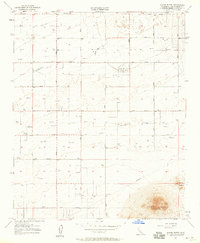
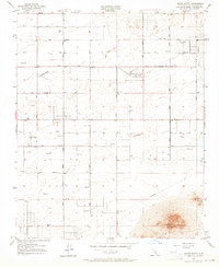
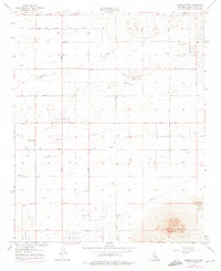
Editions of this 1957 Alpine Butte Map
4 editions found
Other maps of this area

1915 · Elizabeth Lake
USGS Topo · 1:125,000

1917 · Elizabeth Lake
USGS Topo · 1:125,000

1930 · Joshua
USGS Topo · 1:24,000

1930 · Lovejoy Springs
USGS Topo · 1:24,000

1930 · Roosevelt School
USGS Topo · 1:24,000

1930 · Casa Desierta
USGS Topo · 1:24,000

1930 · West Alpine Butte
USGS Topo · 1:24,000

1930 · Tierra Bonita
USGS Topo · 1:24,000

1933 · Casa Desierta
USGS Topo · 1:24,000

1933 · Lovejoy Springs
USGS Topo · 1:24,000