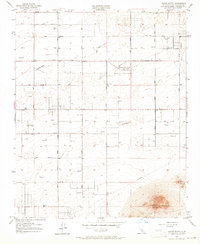
1957 Map of Alpine Butte
USGS Topo · Published 1964About this map
Alpine Butte dominates the southeastern corner of this landscape, rising above the Antelope Valley floor as a prominent desert landmark. The 1957 field survey reveals a sparse but functional grid of dirt roads and section lines, including East Avenue F through East Avenue N. Aviation history is prominent here, marked by the Antelore Valley Pilots Club Landing Field and several other unnamed landing strips, reflecting the region's importance for flight training and private aviation. Along with the Radio Range Sta, these features highlight the area's development as an aerospace corridor. Water management in this arid environment is evidenced by numerous scattered reservoirs and wells, while drainage is defined by the seasonal path of Rock Creek. The surveyor's notes indicate that while the topography was mapped in 1930, the cultural details were updated from 1955 aerial photography to capture the post-war expansion of the valley.
Find a feature on this map
30 named features on this map. Tap any name to fly to it.
Don’t see what you’re looking for? This feature index may not catch every label — zoom into the map to look around manually.
Map Details
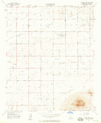
Editions of this 1957 Alpine Butte Map
4 editions found
Other maps of this area

1915 · Elizabeth Lake
USGS Topo · 1:125,000

1917 · Elizabeth Lake
USGS Topo · 1:125,000

1930 · Joshua
USGS Topo · 1:24,000

1930 · Lovejoy Springs
USGS Topo · 1:24,000

1930 · Roosevelt School
USGS Topo · 1:24,000

1930 · Casa Desierta
USGS Topo · 1:24,000

1930 · West Alpine Butte
USGS Topo · 1:24,000

1930 · Tierra Bonita
USGS Topo · 1:24,000

1933 · Casa Desierta
USGS Topo · 1:24,000

1933 · Lovejoy Springs
USGS Topo · 1:24,000