
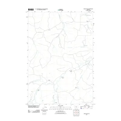
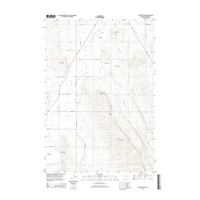
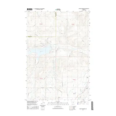
1986 Map of Alpine
USGS Topo · Published 1986About this map
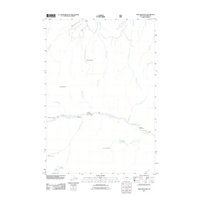
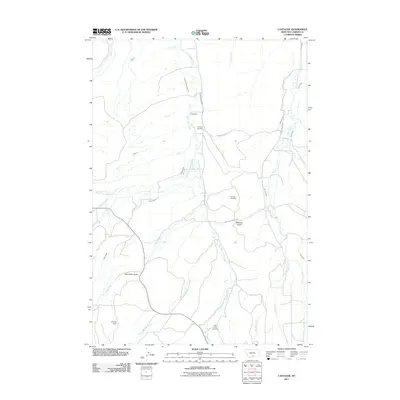
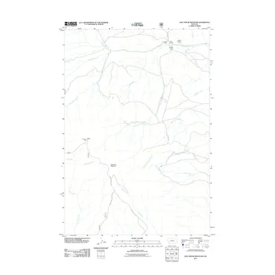
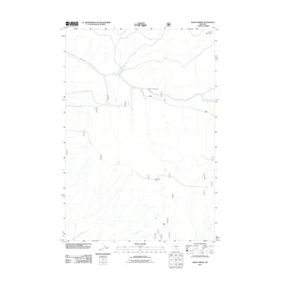
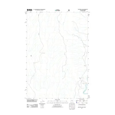
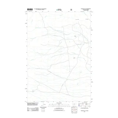
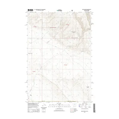
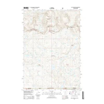
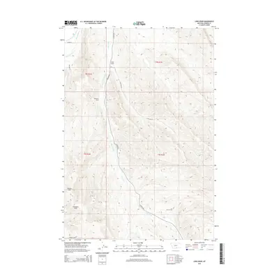
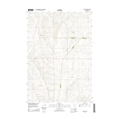
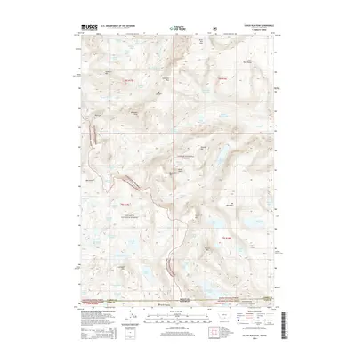
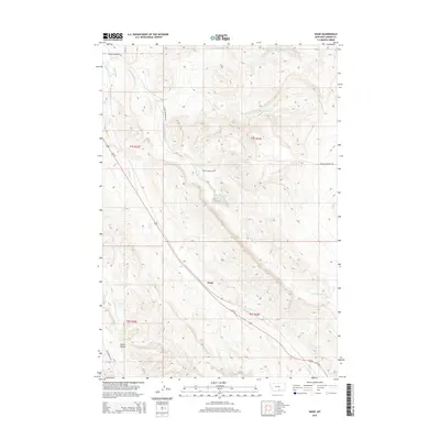
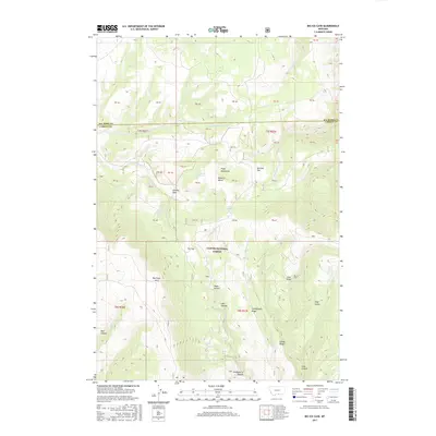
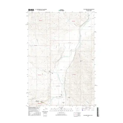
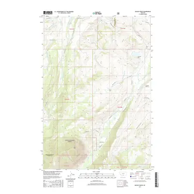
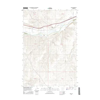
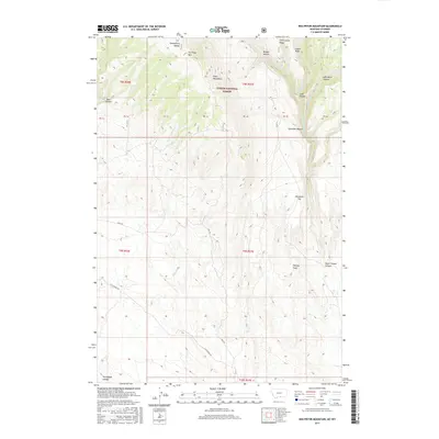
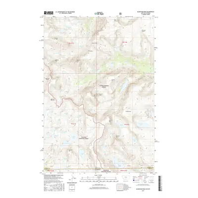
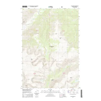
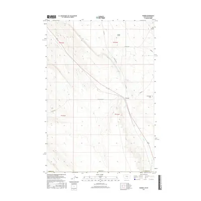
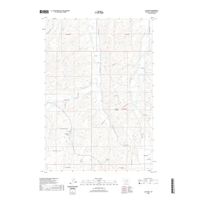
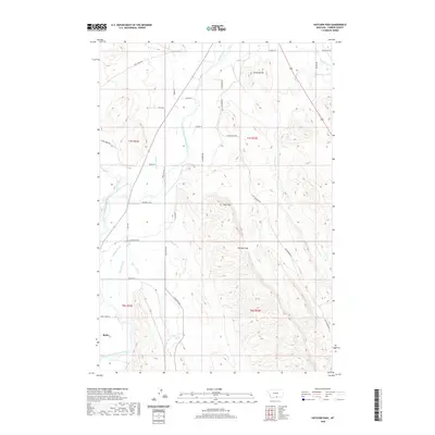
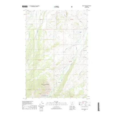
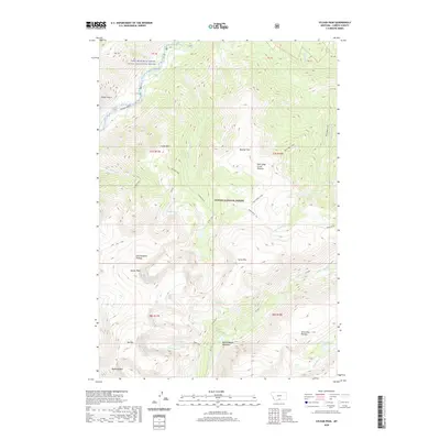
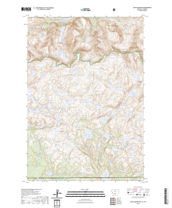
Absaroka-Beartooth Wilderness dominates this high-altitude terrain, showcasing the dramatic transition from the valley settlement of Alpine to the perennial ice of Phantom Glacier. This mid-1980s provisional survey documents the primitive network of the Pack Trail system as it skirts major water bodies like East Rosebud Lake and the aptly named Froze-to-Death Lake. The landscape is defined by massive peaks including Saddleback Mountain and Mount Hole-in-the-Wall, which separate the drainages of East Rosebud Creek and Whirlpool Creek. For the researcher, the map preserves the exact elevation markers for remote lakes and the county line between Stillwater and Carbon Counties as they were surveyed before the era of modern digital mapping.
Find a feature on this map
38 named features on this map. Tap any name to fly to it.
Don’t see what you’re looking for? This feature index may not catch every label — zoom into the map to look around manually.
Map Details
Editions of this 1986 Alpine Map
This is the sole edition of this map. No revisions or reprints were ever made.
Historical Maps of Alpine Through Time
214 maps found

1932 Red Lodge No 1
Carbon County, MT

1932 Red Lodge No 2
Carbon County, MT

1956 Alpine
Carbon County, MT

1956 Castagne
Carbon County, MT

1956 Cooney Reservoir
Carbon County, MT

1956 Mackay Ranch
Carbon County, MT

1956 Mount Maurice
Carbon County, MT

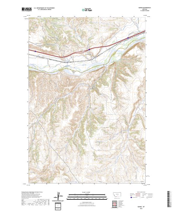
1956 Rapids
Carbon County, MT

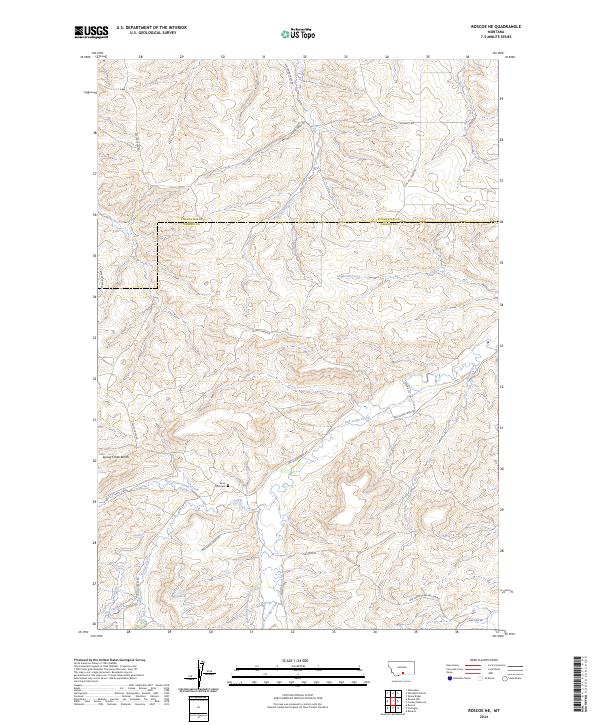
1956 Roscoe NE
Carbon County, MT

1956 The Big Slide
Carbon County, MT

1964 Big Ice Cave
Carbon County, MT

1964 Dead Indian Hill
Carbon County, MT

1964 East Pryor Mountain
Carbon County, MT

1964 Mystery Cave
Carbon County, MT

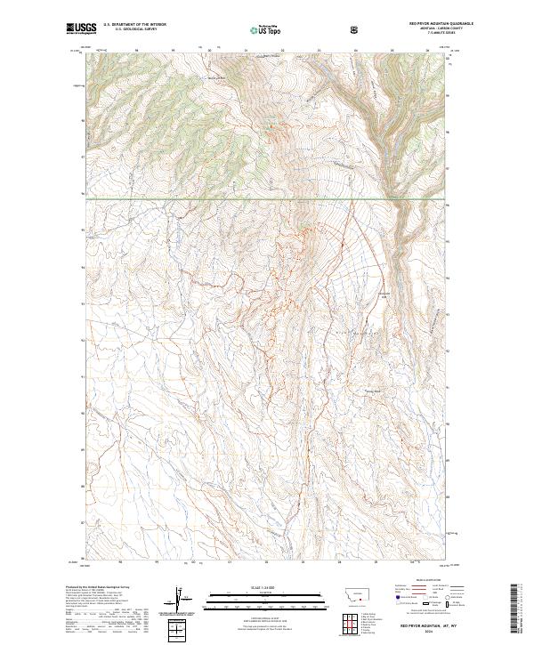
1964 Red Pryor Mountain
Carbon County, MT

1967 Bluewater
Carbon County, MT

1967 Pryor NW
Carbon County, MT

1969 Bear Canyon
Carbon County, MT

1969 Bowler
Carbon County, MT

1969 Hatcher Pass
Carbon County, MT

1969 Hollenbeck Draw
Carbon County, MT

1969 Hunters Creek
Carbon County, MT

1969 Indian Spring
Carbon County, MT

1969 Long Draw
Carbon County, MT

1969 Red Lodge East
Carbon County, MT

1969 Tolman Flat
Carbon County, MT

1969 Wade
Carbon County, MT

1969 Warren
Carbon County, MT
1986 Alpine
Carbon County, MT

1986 Bare Mountain
Carbon County, MT

1986 Black Pyramid Mountain
Carbon County, MT

1986 Castle Mountain
Carbon County, MT

1986 Mount Maurice
Carbon County, MT

1986 Red Lodge West
Carbon County, MT

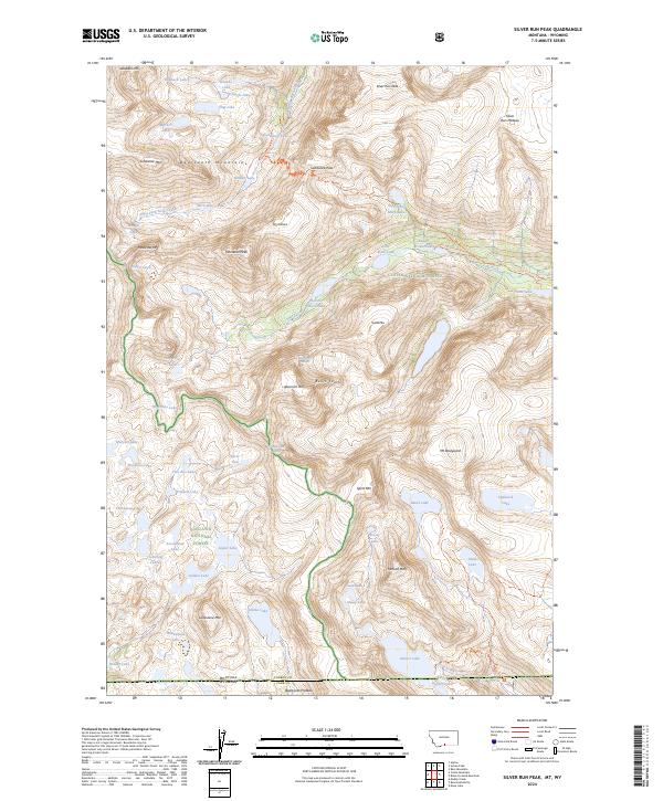
1986 Silver Run Peak
Carbon County, MT

1986 Sylvan Peak
Carbon County, MT

1991 Castle Mountain
Carbon County, MT

1996 Alpine
Carbon County, MT

1996 Bare Mountain
Carbon County, MT

1996 Bear Canyon
Carbon County, MT

1996 Big Ice Cave
Carbon County, MT

1996 Black Pyramid Mountain
Carbon County, MT

1996 Bowler
Carbon County, MT

1996 East Pryor Mountain
Carbon County, MT

1996 Indian Spring
Carbon County, MT

1996 Mackay Ranch
Carbon County, MT

1996 Mount Maurice
Carbon County, MT

1996 Mystery Cave
Carbon County, MT

1996 Red Lodge East
Carbon County, MT

1996 Red Lodge West
Carbon County, MT

1996 Red Pryor Mountain
Carbon County, MT

1996 Silver Run Peak
Carbon County, MT

1996 Sylvan Peak
Carbon County, MT

1996 Tolman Flat
Carbon County, MT

2011 Alpine
Carbon County, MT
2011 Bare Mountain
Carbon County, MT
2011 Bear Canyon
Carbon County, MT
2011 Big Ice Cave
Carbon County, MT

2011 Black Pyramid Mountain
Carbon County, MT
2011 Bluewater
Carbon County, MT

2011 Bowler
Carbon County, MT
2011 Castagne
Carbon County, MT
2011 Castle Mountain
Carbon County, MT
2011 Cooney Reservoir
Carbon County, MT
2011 Dead Indian Hill
Carbon County, MT
2011 East Pryor Mountain
Carbon County, MT
2011 Hatcher Pass
Carbon County, MT
2011 Hollenbeck Draw
Carbon County, MT
2011 Hunters Creek
Carbon County, MT
2011 Indian Spring
Carbon County, MT
2011 Long Draw
Carbon County, MT
2011 Mackay Ranch
Carbon County, MT
2011 Mount Maurice
Carbon County, MT
2011 Mystery Cave
Carbon County, MT
2011 Pryor NW
Carbon County, MT
2011 Rapids
Carbon County, MT

2011 Red Lodge East
Carbon County, MT

2011 Red Lodge West
Carbon County, MT
2011 Red Pryor Mountain
Carbon County, MT
2011 Roscoe NE
Carbon County, MT
2011 Silver Run Peak
Carbon County, MT
2011 Sylvan Peak
Carbon County, MT
2011 The Big Slide
Carbon County, MT
2011 Tolman Flat
Carbon County, MT
2011 Wade
Carbon County, MT
2011 Warren
Carbon County, MT

2014 Alpine
Carbon County, MT
2014 Bare Mountain
Carbon County, MT
2014 Bear Canyon
Carbon County, MT
2014 Big Ice Cave
Carbon County, MT

2014 Black Pyramid Mountain
Carbon County, MT
2014 Bluewater
Carbon County, MT

2014 Bowler
Carbon County, MT
2014 Castagne
Carbon County, MT
2014 Castle Mountain
Carbon County, MT
2014 Cooney Reservoir
Carbon County, MT
2014 Dead Indian Hill
Carbon County, MT
2014 East Pryor Mountain
Carbon County, MT
2014 Hatcher Pass
Carbon County, MT
2014 Hollenbeck Draw
Carbon County, MT
2014 Hunters Creek
Carbon County, MT
2014 Indian Spring
Carbon County, MT
2014 Long Draw
Carbon County, MT
2014 Mackay Ranch
Carbon County, MT
2014 Mount Maurice
Carbon County, MT
2014 Mystery Cave
Carbon County, MT
2014 Pryor NW
Carbon County, MT
2014 Rapids
Carbon County, MT

2014 Red Lodge East
Carbon County, MT

2014 Red Lodge West
Carbon County, MT
2014 Red Pryor Mountain
Carbon County, MT
2014 Roscoe NE
Carbon County, MT
2014 Silver Run Peak
Carbon County, MT
2014 Sylvan Peak
Carbon County, MT
2014 The Big Slide
Carbon County, MT
2014 Tolman Flat
Carbon County, MT
2014 Wade
Carbon County, MT
2014 Warren
Carbon County, MT

2017 Alpine
Carbon County, MT
2017 Bare Mountain
Carbon County, MT
2017 Bear Canyon
Carbon County, MT
2017 Big Ice Cave
Carbon County, MT

2017 Black Pyramid Mountain
Carbon County, MT
2017 Bluewater
Carbon County, MT

2017 Bowler
Carbon County, MT
2017 Castagne
Carbon County, MT
2017 Castle Mountain
Carbon County, MT
2017 Cooney Reservoir
Carbon County, MT
2017 Dead Indian Hill
Carbon County, MT
2017 East Pryor Mountain
Carbon County, MT
2017 Hatcher Pass
Carbon County, MT
2017 Hollenbeck Draw
Carbon County, MT
2017 Hunters Creek
Carbon County, MT
2017 Indian Spring
Carbon County, MT
2017 Long Draw
Carbon County, MT
2017 Mackay Ranch
Carbon County, MT
2017 Mount Maurice
Carbon County, MT
2017 Mystery Cave
Carbon County, MT
2017 Pryor NW
Carbon County, MT
2017 Rapids
Carbon County, MT

2017 Red Lodge East
Carbon County, MT

2017 Red Lodge West
Carbon County, MT
2017 Red Pryor Mountain
Carbon County, MT
2017 Roscoe NE
Carbon County, MT
2017 Silver Run Peak
Carbon County, MT
2017 Sylvan Peak
Carbon County, MT
2017 The Big Slide
Carbon County, MT
2017 Tolman Flat
Carbon County, MT
2017 Wade
Carbon County, MT
2017 Warren
Carbon County, MT

2020 Alpine
Carbon County, MT
2020 Bare Mountain
Carbon County, MT

2020 Bear Canyon
Carbon County, MT
2020 Big Ice Cave
Carbon County, MT

2020 Black Pyramid Mountain
Carbon County, MT
2020 Bluewater
Carbon County, MT

2020 Bowler
Carbon County, MT
2020 Castagne
Carbon County, MT

2020 Castle Mountain
Carbon County, MT
2020 Cooney Reservoir
Carbon County, MT
2020 Dead Indian Hill
Carbon County, MT
2020 East Pryor Mountain
Carbon County, MT
2020 Hatcher Pass
Carbon County, MT

2020 Hollenbeck Draw
Carbon County, MT
2020 Hunters Creek
Carbon County, MT
2020 Indian Spring
Carbon County, MT
2020 Long Draw
Carbon County, MT
2020 Mackay Ranch
Carbon County, MT

2020 Mount Maurice
Carbon County, MT

2020 Mystery Cave
Carbon County, MT
2020 Pryor NW
Carbon County, MT
2020 Rapids
Carbon County, MT

2020 Red Lodge East
Carbon County, MT

2020 Red Lodge West
Carbon County, MT

2020 Red Pryor Mountain
Carbon County, MT
2020 Roscoe NE
Carbon County, MT

2020 Silver Run Peak
Carbon County, MT
2020 Sylvan Peak
Carbon County, MT
2020 The Big Slide
Carbon County, MT

2020 Tolman Flat
Carbon County, MT
2020 Wade
Carbon County, MT

2020 Warren
Carbon County, MT

2024 Alpine
Carbon County, MT
2024 Bare Mountain
Carbon County, MT
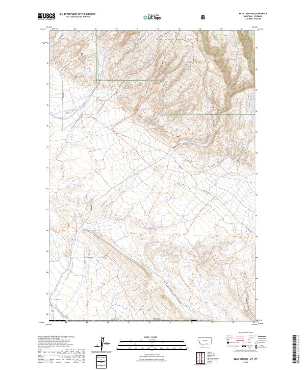
2024 Bear Canyon
Carbon County, MT
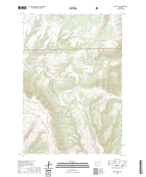
2024 Big Ice Cave
Carbon County, MT

2024 Black Pyramid Mountain
Carbon County, MT
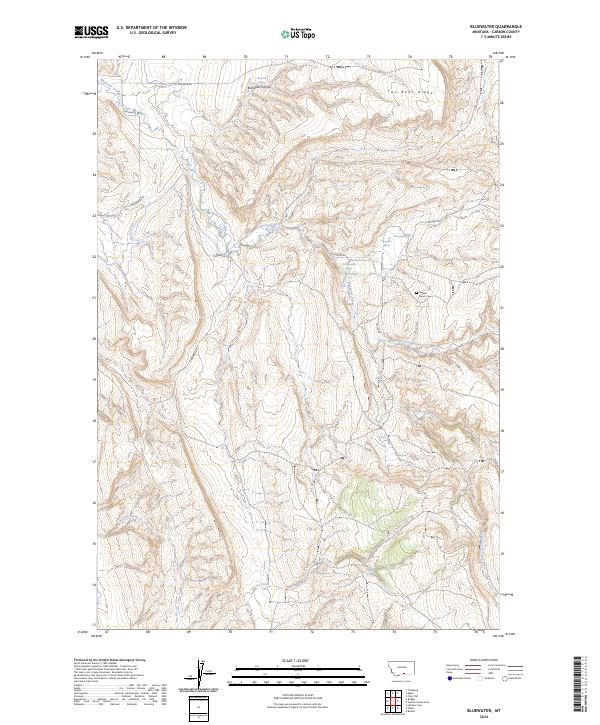
2024 Bluewater
Carbon County, MT

2024 Bowler
Carbon County, MT
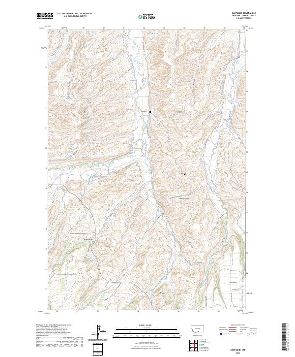
2024 Castagne
Carbon County, MT
2024 Castle Mountain
Carbon County, MT
2024 Cooney Reservoir
Carbon County, MT
2024 Dead Indian Hill
Carbon County, MT
2024 East Pryor Mountain
Carbon County, MT
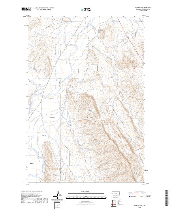
2024 Hatcher Pass
Carbon County, MT
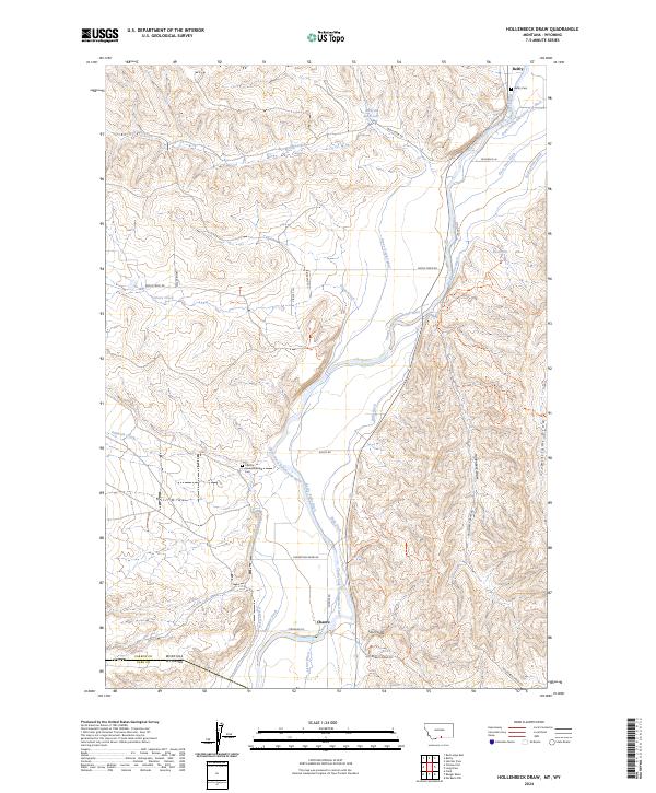
2024 Hollenbeck Draw
Carbon County, MT

2024 Hunters Creek
Carbon County, MT
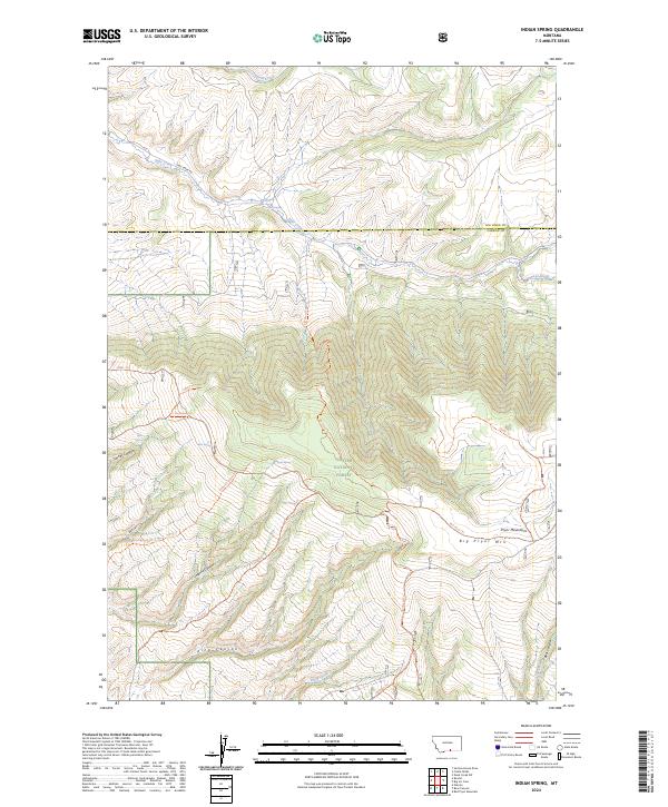
2024 Indian Spring
Carbon County, MT
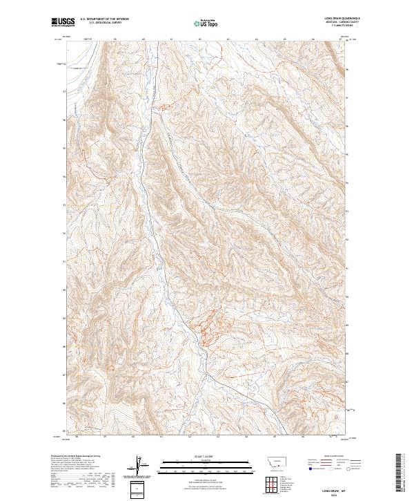
2024 Long Draw
Carbon County, MT
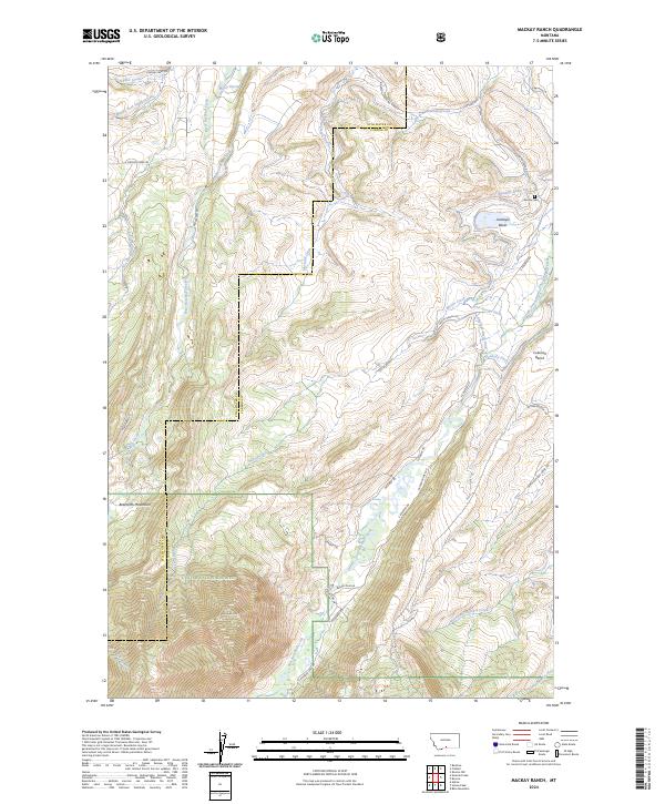
2024 Mackay Ranch
Carbon County, MT
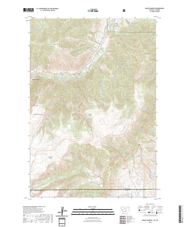
2024 Mount Maurice
Carbon County, MT
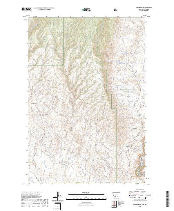
2024 Mystery Cave
Carbon County, MT
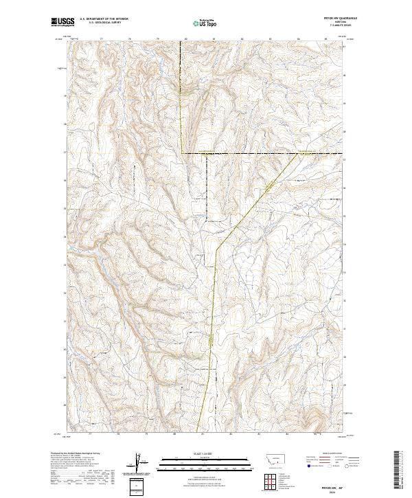
2024 Pryor NW
Carbon County, MT
2024 Rapids
Carbon County, MT

2024 Red Lodge East
Carbon County, MT

2024 Red Lodge West
Carbon County, MT
2024 Red Pryor Mountain
Carbon County, MT
2024 Roscoe NE
Carbon County, MT
2024 Silver Run Peak
Carbon County, MT
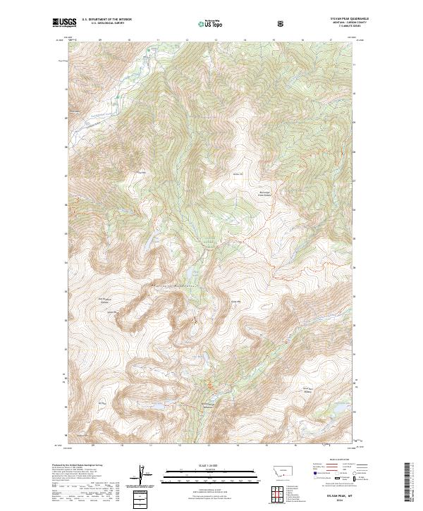
2024 Sylvan Peak
Carbon County, MT
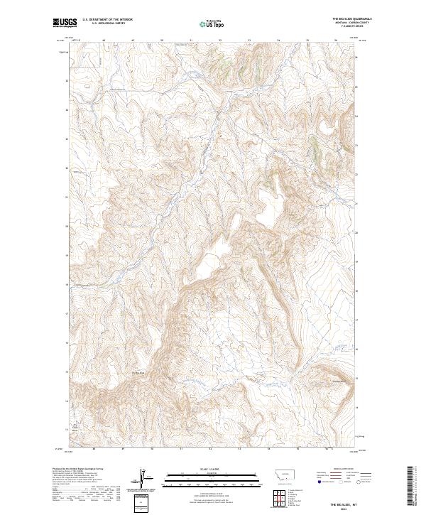
2024 The Big Slide
Carbon County, MT
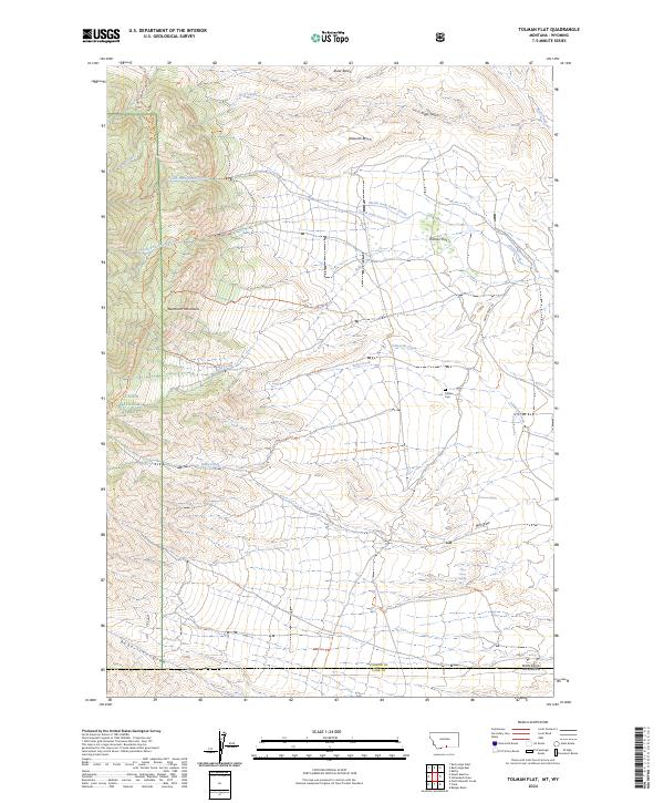
2024 Tolman Flat
Carbon County, MT
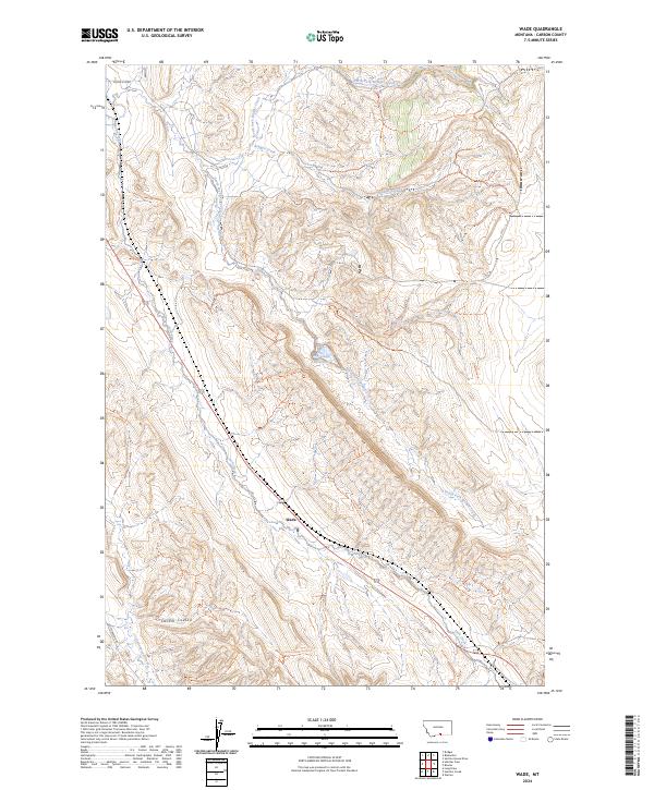
2024 Wade
Carbon County, MT
2024 Warren
Carbon County, MT