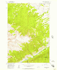
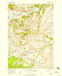
1956 Map of Emerald Lake
USGS Topo · Published 1957About this map
Fishtail Plateau dominates this high-elevation landscape within the Custer National Forest, where the terrain drops sharply toward the Stillwater and Carbon County line. This mid-century survey documents a wilderness transitioning into a managed resource area, evidenced by the presence of the Rickman-Kennedy Ditch and a network of water bodies including Emerald Lake and West Rosebud Lake in the southern reaches. Along the northern margins, the remote character of the land gives way to early ranching and education sites like Bedford Ranch, Hash Ranch, and the Bedford School. The drainage patterns of West Fishtail Creek and Fiddler Creek provide a clear view of the watershed before more modern development altered the alpine environment. Researchers will find interest in the early recreational markers such as the Pine Grove Campground, situated near the confluence of several canyon streams.
Find a feature on this map
24 named features on this map. Tap any name to fly to it.
Don’t see what you’re looking for? This feature index may not catch every label — zoom into the map to look around manually.
Map Details
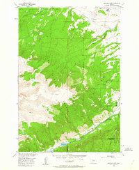
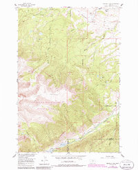
Editions of this 1956 Emerald Lake Map
3 editions found
Other maps of this area

1898 · Granite Mountain District
USGS Topo · 1:125,000

1932 · Nye No 1
USGS Topo · 1:48,000

1932 · Nye No 2
USGS Topo · 1:48,000

1939 · Mt Wood
USGS Topo · 1:62,500

1941 · Mt. Wood
USGS Topo · 1:62,500

1954 · Billings
USGS Topo · 1:250,000
1956 · Fishtail
USGS Topo · 1:24,000

1956 · Alpine
USGS Topo · 1:62,500

1956 · Mackay Ranch
USGS Topo · 1:24,000
1956 · Beehive
USGS Topo · 1:24,000