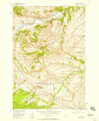
1956 Map of Beehive
USGS Topo · Published 1958About this map
The Stillwater River winds through the northern portion of this Stillwater County landscape, which transitions from high plateaus down into narrow, deeply cut drainages. The small settlement of Beehive sits near the river's edge, supported by the Beehive Sch and a network of irrigation ditches that define the early mid-century agricultural footprint. To the south, the terrain rises toward the Forest Boundary, where the Custer National Forest encompasses landmarks like Fishtail Butte and the broad Dean Basin.
Find a feature on this map
24 named features on this map. Tap any name to fly to it.
Don’t see what you’re looking for? This feature index may not catch every label — zoom into the map to look around manually.
Map Details
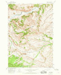
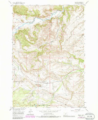
Editions of this 1956 Beehive Map
Other maps of this area

1891 · Big Timber
USGS Topo · 1:125,000

1893 · Big Timber
USGS Topo · 1:125,000

1898 · Granite Mountain District
USGS Topo · 1:125,000

1932 · Nye No 1
USGS Topo · 1:48,000

1932 · Nye No 2
USGS Topo · 1:48,000

1939 · Mt Wood
USGS Topo · 1:62,500

1941 · Mt. Wood
USGS Topo · 1:62,500

1954 · Billings
USGS Topo · 1:250,000

1955 · Sandborn Creek
USGS Topo · 1:24,000
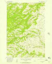
1955 · Wildcat Draw
USGS Topo · 1:24,000