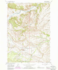
1956 Map of Beehive
USGS Topo · Published 1986About this map
The Stillwater River cuts through this corner of Montana, where the small settlement of Beehive and the Beehive Sch once served a community of ranchers and miners near the Custer National Forest boundary. This mid-century landscape reflects a hard-working mountain economy dependent on a network of water management features, including several named Ditch segments and a flume designed to direct the flow from Fishtail Creek and its tributaries.
Find a feature on this map
33 named features on this map. Tap any name to fly to it.
Don’t see what you’re looking for? This feature index may not catch every label — zoom into the map to look around manually.
Map Details
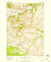
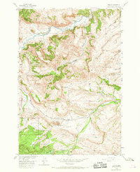
Editions of this 1956 Beehive Map
Other maps of this area

1891 · Big Timber
USGS Topo · 1:125,000

1893 · Big Timber
USGS Topo · 1:125,000

1898 · Granite Mountain District
USGS Topo · 1:125,000

1932 · Nye No 1
USGS Topo · 1:48,000

1932 · Nye No 2
USGS Topo · 1:48,000

1939 · Mt Wood
USGS Topo · 1:62,500

1941 · Mt. Wood
USGS Topo · 1:62,500

1954 · Billings
USGS Topo · 1:250,000

1955 · Sandborn Creek
USGS Topo · 1:24,000
1955 · Wildcat Draw
USGS Topo · 1:24,000