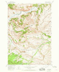
1956 Map of Beehive
USGS Topo · Published 1968About this map
The Stillwater River carves through the landscape of Stillwater County, providing the primary water source for the early 1950s agrarian and ranching activities centered around Beehive. This area is defined by sharp topographic shifts where canyon lands meet high-altitude forests. The presence of the Beehive Sch near the river suggests a consolidated community node during this era, while the Lewis-Hudson-Fowler Trail traces a historic route through the Fishtail Basin toward the higher elevations of the Custer National Forest. Land use in the mid-century reflected a mix of timber management and small-scale extraction, evidenced by a Mine located near the southern Forest Boundary. High landmarks like Beehive Rock and Fishtail Butte served as natural navigation points for residents moving between the settlement of Dean and the remote waters of Island Lake and Heart Lake.
Find a feature on this map
24 named features on this map. Tap any name to fly to it.
Don’t see what you’re looking for? This feature index may not catch every label — zoom into the map to look around manually.
Map Details
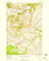
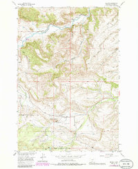
Editions of this 1956 Beehive Map
Other maps of this area

1891 · Big Timber
USGS Topo · 1:125,000

1893 · Big Timber
USGS Topo · 1:125,000

1898 · Granite Mountain District
USGS Topo · 1:125,000

1932 · Nye No 1
USGS Topo · 1:48,000

1932 · Nye No 2
USGS Topo · 1:48,000

1939 · Mt Wood
USGS Topo · 1:62,500

1941 · Mt. Wood
USGS Topo · 1:62,500

1954 · Billings
USGS Topo · 1:250,000

1955 · Sandborn Creek
USGS Topo · 1:24,000
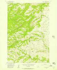
1955 · Wildcat Draw
USGS Topo · 1:24,000