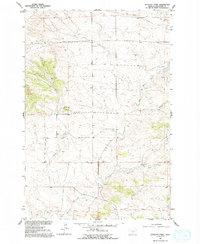
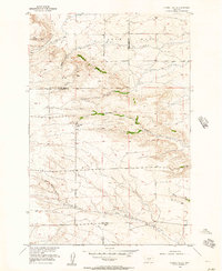
1955 Map of Antelope Point
USGS Topo · Published 1993About this map
The Antelope Point prominence anchors this mid-century survey of Stillwater County, where the high Montana plains are deeply dissected by a network of drainage systems. Small rural schoolhouses serve as the primary landmarks for researchers, including Antelope Point Sch, Patten Sch, and Cottonwood Sch, marking the scattered centers of this agricultural community.
Find a feature on this map
14 named features on this map. Tap any name to fly to it.
Don’t see what you’re looking for? This feature index may not catch every label — zoom into the map to look around manually.
Map Details
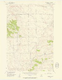
Editions of this 1955 Antelope Point Map
2 editions found
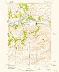
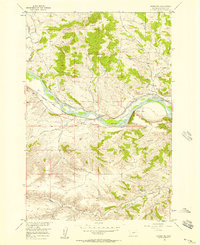
Other maps of this area

1891 · Big Timber
USGS Topo · 1:125,000

1892 · Stillwater
USGS Topo · 1:125,000

1893 · Big Timber
USGS Topo · 1:125,000

1954 · Billings
USGS Topo · 1:250,000
1955 · Antelope Point
USGS Topo · 1:24,000
1955 · Reed Point
USGS Topo · 1:24,000
1955 · Springtime
USGS Topo · 1:24,000
1955 · Russell Gulch
USGS Topo · 1:24,000

1955 · Stephens Hill
USGS Topo · 1:24,000
1956 · Columbus West
USGS Topo · 1:24,000