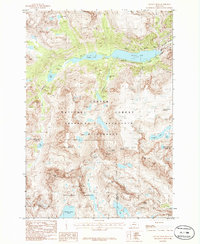
1986 Map of Granite Peak
USGS Topo · Published 1986About this map
Granite Peak stands as the literal and figurative high point of this mid-1980s alpine survey, marking the intersection of the Custer National Forest and Absaroka-Beartooth Wilderness. The landscape is defined by its dramatic glacial features and high-altitude hydrology, where the Granite Glacier and Sky Top Glacier feed a network of drainages including Sky Top Creek and Granite Creek. The terrain reveals a complex series of basins and cirques, holding numerous named water bodies from the expansive Mystic Lake and Island Lake to the smaller Princess Lake and Cold Lake. This provisional mapping effort captures the primitive character of the backcountry before modern digital surveying, where the only access is via a winding Pack Trail that follows the contours of West Rosebud Creek. To the east and south, the map traces the high-altitude boundaries between Stillwater, Park, and Carbon counties along the peaks of the Beartooth range.
Find a feature on this map
45 named features on this map. Tap any name to fly to it.
Don’t see what you’re looking for? This feature index may not catch every label — zoom into the map to look around manually.
Map Details
Editions of this 1986 Granite Peak Map
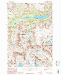
2 editions found
Other maps of this area

1898 · Granite Mountain District
USGS Topo · 1:125,000

1932 · Nye No 1
USGS Topo · 1:48,000

1932 · Nye No 2
USGS Topo · 1:48,000

1939 · Mt Wood
USGS Topo · 1:62,500

1941 · Mt. Wood
USGS Topo · 1:62,500

1954 · Billings
USGS Topo · 1:250,000
1956 · Emerald Lake
USGS Topo · 1:24,000

1956 · Alpine
USGS Topo · 1:62,500

1956 · Cooke City
USGS Topo · 1:62,500

1957 · Billings
USGS Topo · 1:250,000